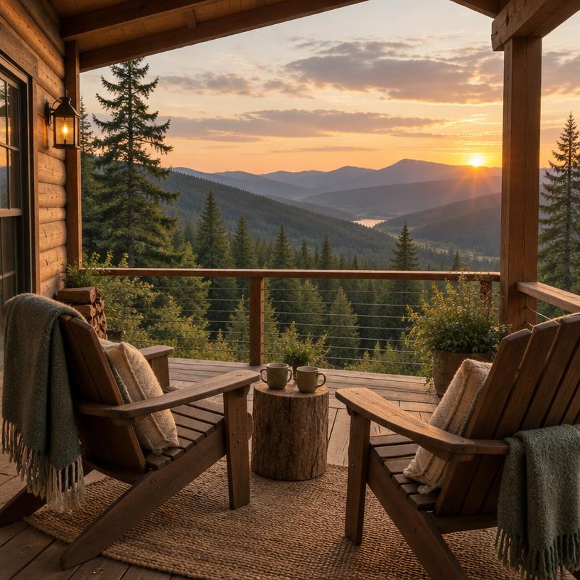
Abende auf dem Campingplatz
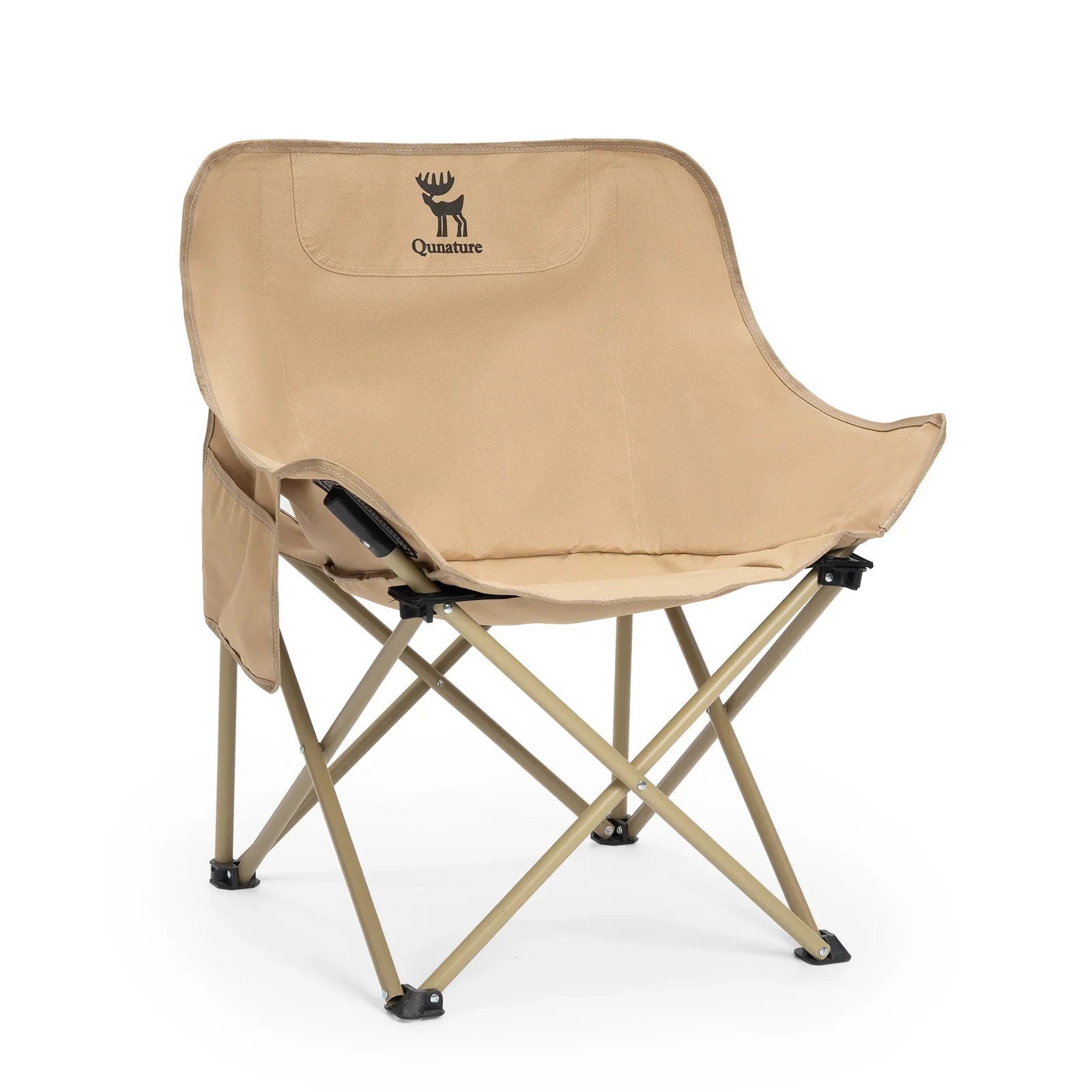
Folding Camping Chair · Adult
Für einen Außensitzbereich im Camp; prüfen Sie das Packmaß im Vergleich zu Ihrem Stauraum im Fahrzeug.

RV & camping guide
 2 h 17 min from MQTCamping score 8/10
Reise auf einen Blick
 AnkunftsflughafenFahrt vom Flughafen
 Empfohlene Dauer
 Reservierungsbedarf
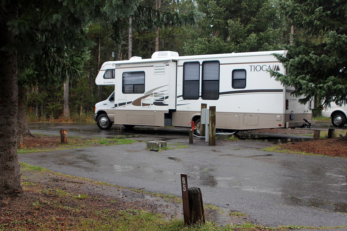
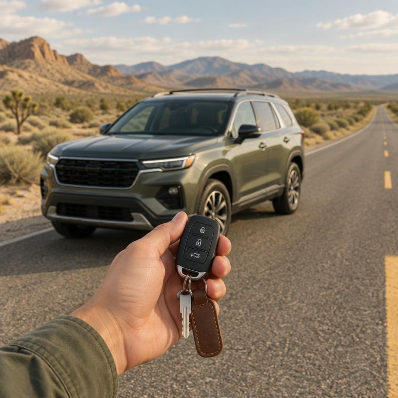 Fahrzeughinweise
In dieser Reihenfolge buchen
Ihre Route
MQT
Marquette Sawyer Regional Airport
Pictured Rocks National Lakeshore
About 2 h 17 min · 75 mi by car, no stops. Estimate only.
Which vehicle
While H-58 is paved, many trailhead roads are gravel and prone to washboarding; check your rental agreement for coverage on unpaved surfaces.
parking
Trailhead Congestion
The Chapel-Mosquito parking lot is frequently full by 8 AM during the peak July and August window. Have a backup plan like Sand Point if you arrive later.
signal
Upper Peninsula Limits
Expect zero cellular service along the H-58 corridor and most hiking trails. Carry a physical map or a dedicated GPS device for wilderness navigation.
fuel
Gateway Filling
Fuel up in Munising or Grand Marais, as there are no services along the 42-mile length of the Lakeshore. Supplies are limited once you enter the park interior.
Maritime History and Backcountry Permit Management
All backcountry camping requires a pre-booked permit via Recreation.gov, often selling out months in advance for the summer season. Boat cruises and guided kayak tours are separate commercial entities; check their official sites for availability as these are the primary ways to see the cliffs.
Official sourceFlottenmiete von etablierten Depots. Vergleichen Sie Abholorte passend zu Ihrem Flug.
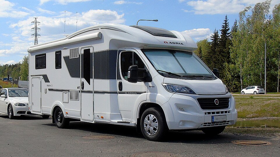
$245/day · typischer Preis
Wachen Sie dort auf, wo die Aussicht am besten ist – keine Rezeption, keine Sperrstunde.
Compare RV & campervan rates$189/day · typischer Preis
Small enough to park at the trailhead, comfy enough to sleep in.
Compare RV & campervan rates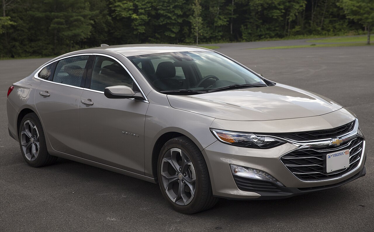
Ca. ab 45 $/Tag · typischer Preis
Wählen Sie Reisedaten und Fahrzeugklasse.
Preise in MQT vergleichen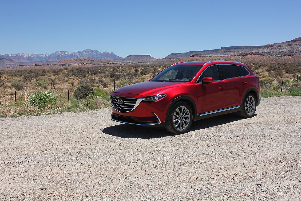
Ca. ab 55 $/Tag · typischer Preis
Wählen Sie Reisedaten und Fahrzeugklasse.
Preise in MQT vergleichenPrivate Campingplätze und RV-Parks außerhalb des Parks, plus Übernachtungsstopps für Mitglieder.
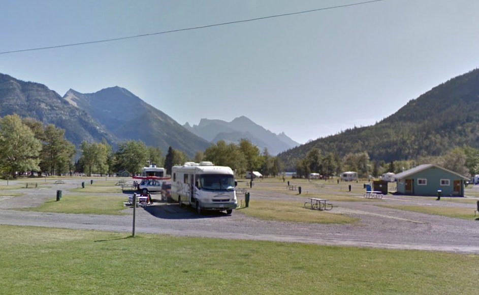
Wohnmobilparks und Campingplätze mit vollem Anschluss nahe dem Park online buchen.
Check campground availabilityPrivate Campingplätze, Hütten und Glamping direkt vor dem Park – oft noch frei, wenn die Parkplätze ausgebucht sind.
Check campground availabilityTraveling by RV near Pictured Rocks National Lakeshore?
Harvest-Hosts-Mitgliedschaft: über 5.000 besondere Wohnmobil-Stellplätze. WildParkRoutes-Leser erhalten 20 % Rabatt im ersten Jahr.
Miners Castle → Munising Falls
Grand Sable Dunes → Sable Falls
Chapel Rock → Chapel Beach
Viator
Geführte Aktivitäten rund um Pictured Rocks National Lakeshore. Prüfen Sie Treffpunkt, Termine und Verfügbarkeit auf Viator vor der Buchung.
Tourangebote separat öffnenAusgewählte Reiseausrüstung
Abende auf dem Campingplatz
Für einen Außensitzbereich im Camp; prüfen Sie das Packmaß im Vergleich zu Ihrem Stauraum im Fahrzeug.
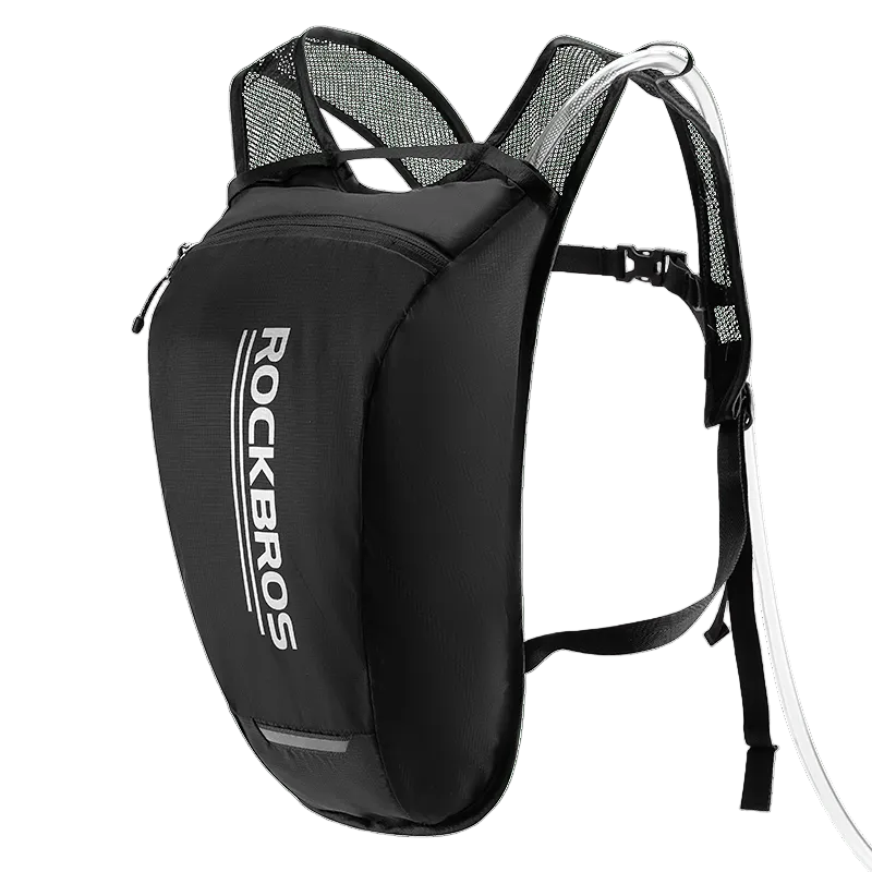
Wasser an Wandertagen
Nehmen Sie auf längeren Wanderungen Trinkwasser mit; vor dem Verlassen von Versorgungsstellen auffüllen.
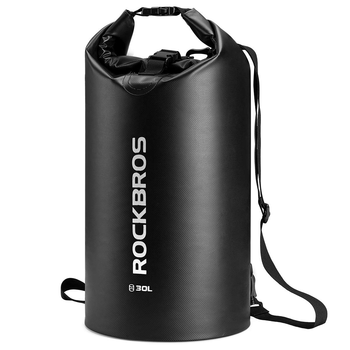
Spritzschutz für Kleinigkeiten
Für kleine Gegenstände in Wassernähe; Verschlussanweisungen beachten. Keine Schwimmhilfe oder Sicherheitsvorrichtung.
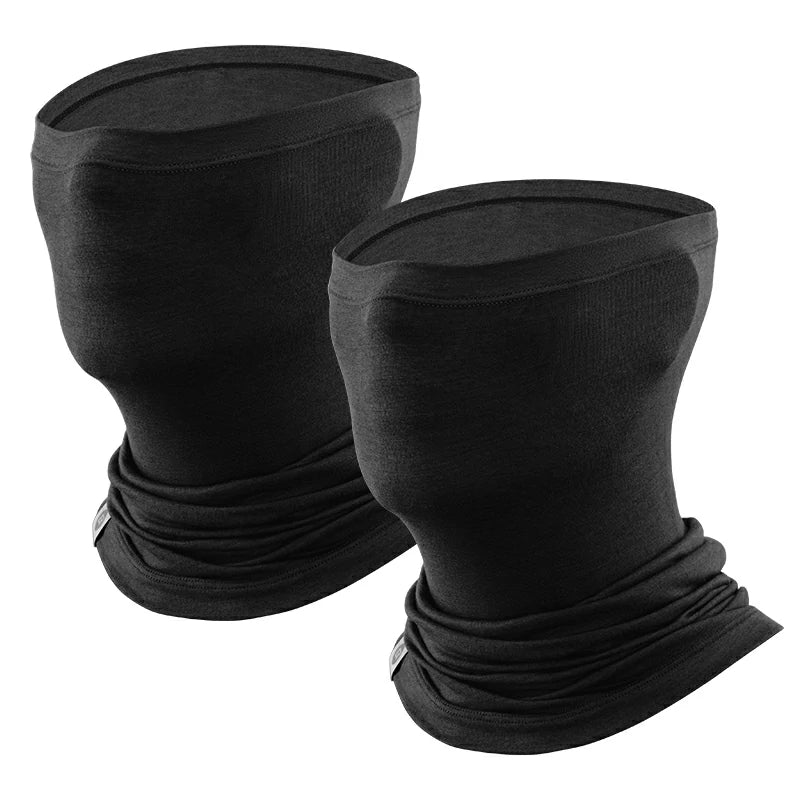
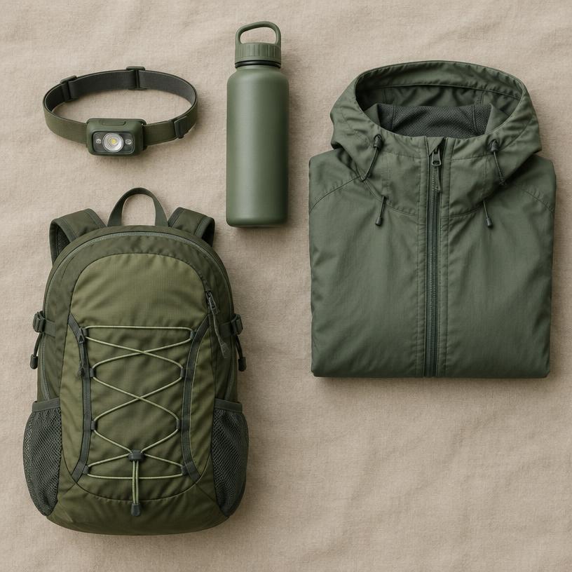
Stopps bei kühlem Wetter
For cold or windy stops. Confirm fabric, fit and the two-pack variant at the store.
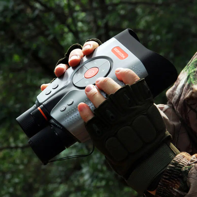
Tier- & Nachtbeobachtung
52MP Foto · 1.200m Reichweite · Vollfarbe bei Nacht. Parkregeln vor Nutzung von Licht bei Nacht prüfen.
$299.99 USD · Shoppreis
Bei WILDGUARDER kaufenOptionale Empfehlungen, keine vollständige Pack- oder Sicherheitsliste. Fotos aus den Shops von ROCKBROS und WILDGUARDER. Preise Stand 2026-10-19 / 2026-10-20; price, stock and shipping may change.
Yes, Pictured Rocks National Lakeshore is a good fit for camping trips. Check vehicle length limits on park roads and campgrounds before you book, and plan fuel stops on remote stretches.
The nearest airport is Marquette Sawyer Regional Airport (MQT), about 2 h 17 min away by car. Rental depots are usually in larger cities, so compare pick-up points before booking flights.
All backcountry camping requires a pre-booked permit via Recreation.gov, often selling out months in advance for the summer season. Boat cruises and guided kayak tours are separate commercial entities; check their official sites for availability as these are the primary ways to see the cliffs.