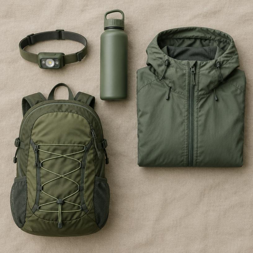
Stauraum für Tageswanderungen
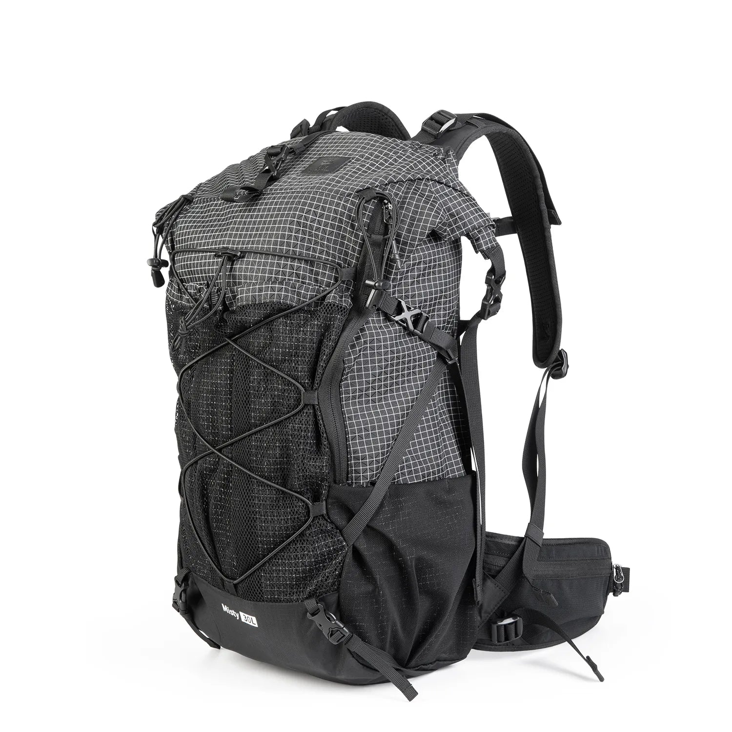
30–35L Hiking Daypack
Für Wechselkleidung und Wanderbedarf; Passform prüfen und Wertsachen extra schützen.

Fly & Drive guide
Reise auf einen Blick
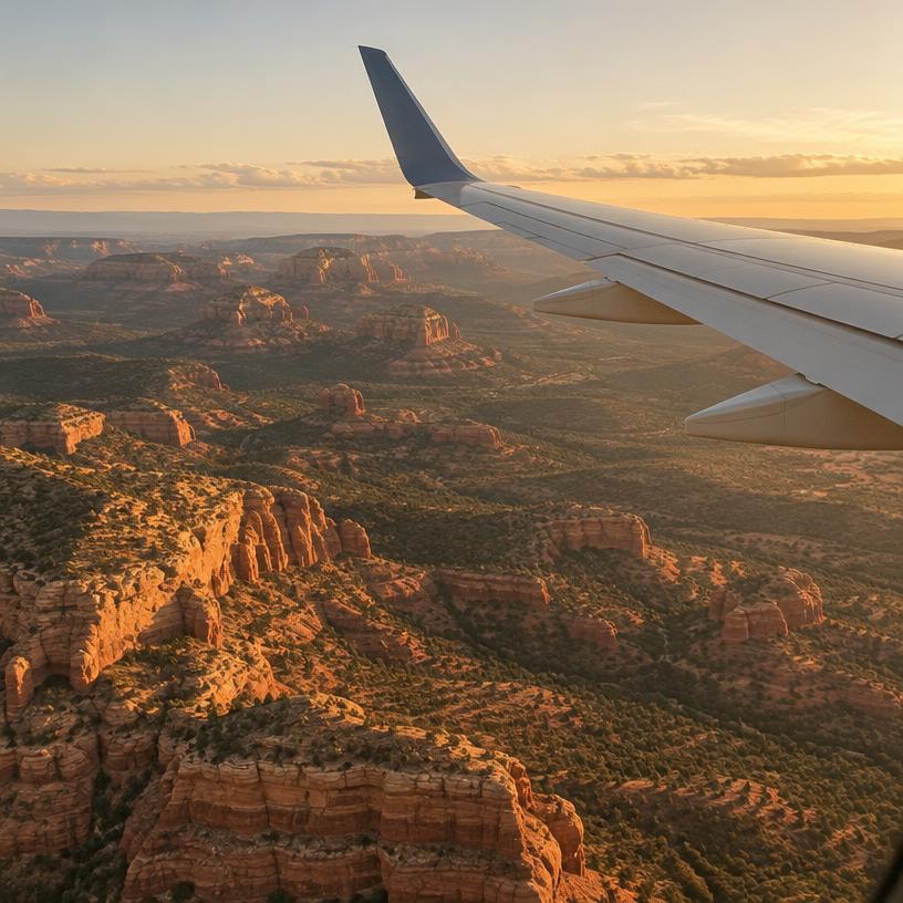 Ankunftsflughafen
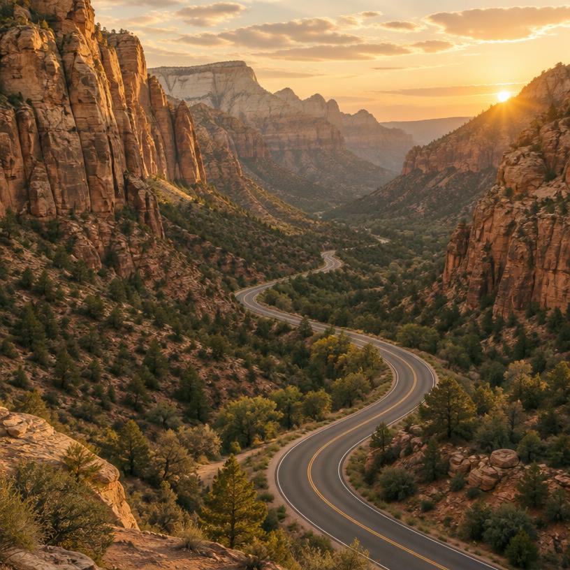 Fahrt vom Flughafen
 Empfohlene Dauer
 Reservierungsbedarf
 Fahrzeughinweise
Ihre Route
MQT
Marquette Sawyer Regional Airport
Pictured Rocks National Lakeshore
About 2 h 17 min · 75 mi by car, no stops. Estimate only.
In dieser Reihenfolge buchen
 Step 1
Compare fares into Marquette Sawyer Regional Airport.
Find flights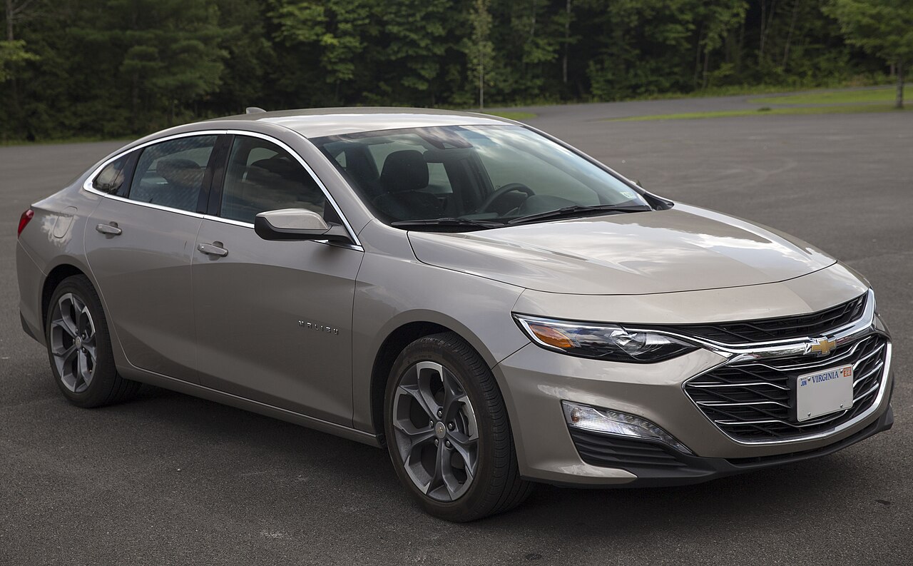 Step 2
Pick up at the airport and drive straight to Pictured Rocks National Lakeshore. Compare rental companies in one search. Est. from $45/day · typical rate.
Compare rentals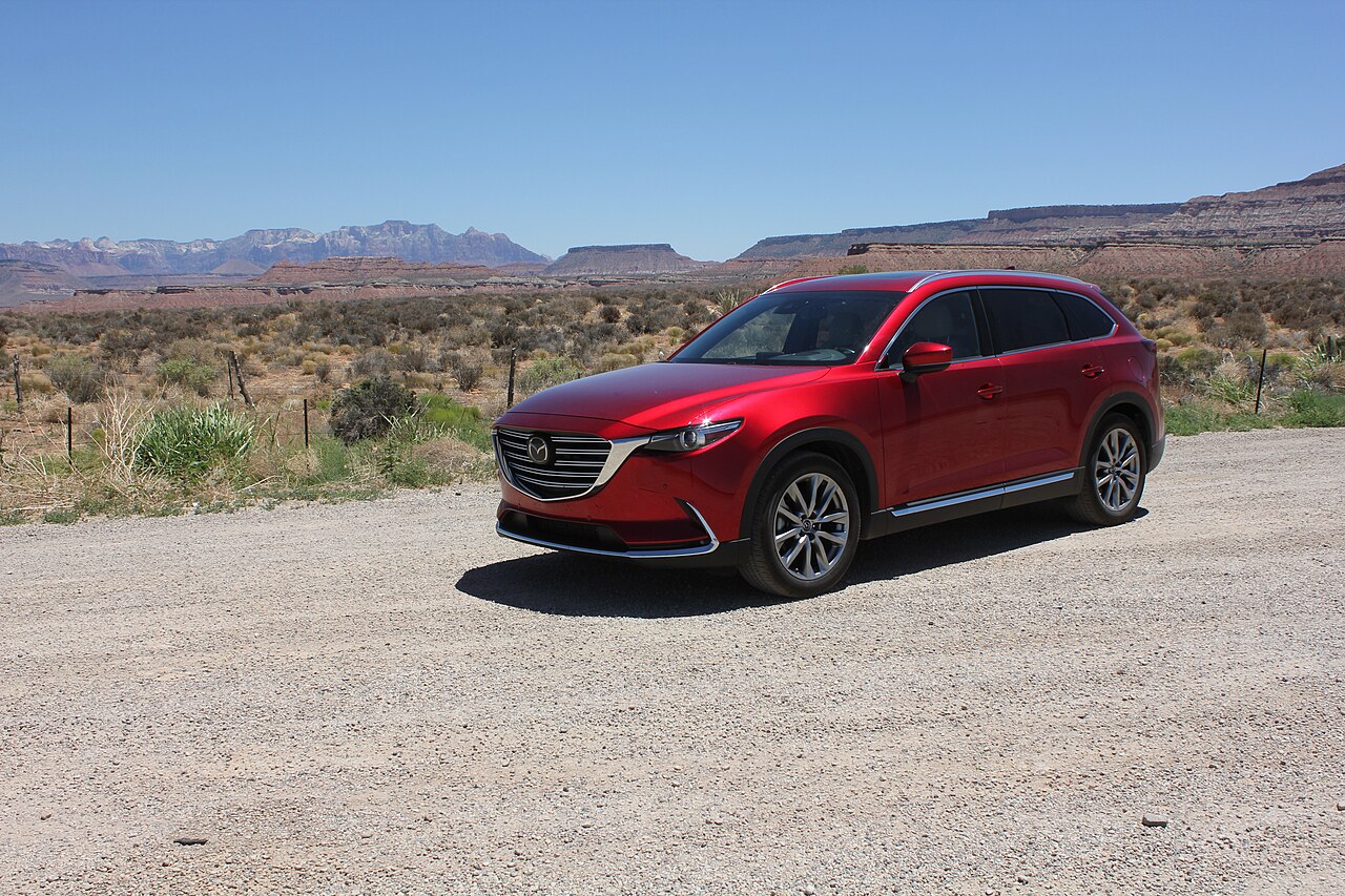 Step 2
Select an SUV, pickup location and dates on Airport Rentals. Est. from $55/day · typical rate.
Compare SUVs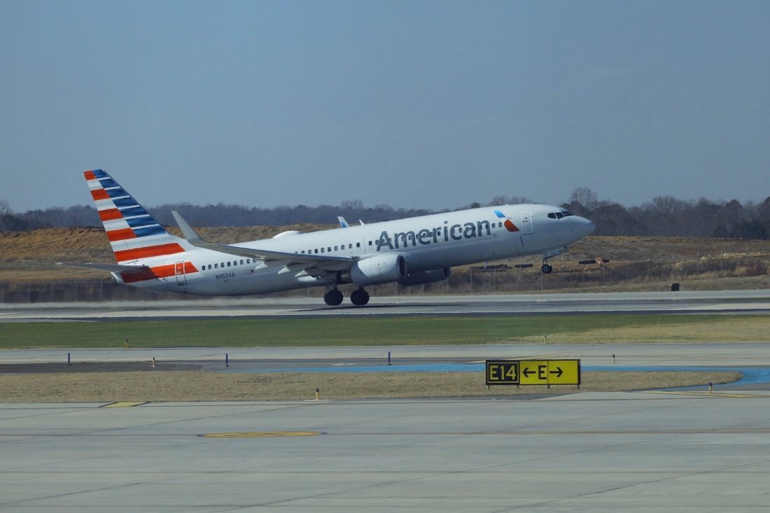 Before you go
Early arrival or late flight home? Drop luggage nearby and keep the car light for the park.
Find storage
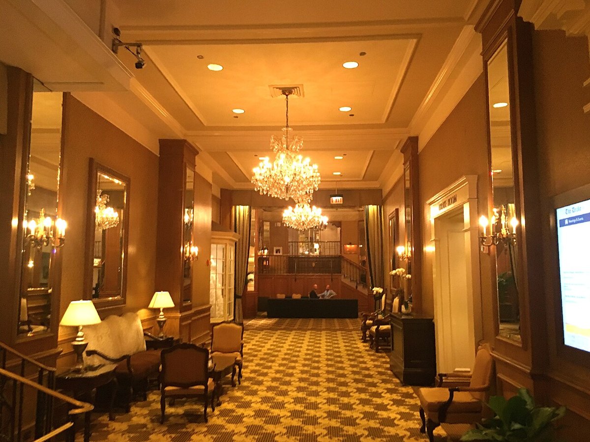
03 · First night near Pictured Rocks National Lakeshore
Übernachten Sie nach der Fahrt in der Nähe, damit der erste Tag direkt im Park beginnen kann.
 Step 3
Est. from $110/night · typical rate. Compare hotels and lodges; check cancellation terms on Expedia.
Search Expedia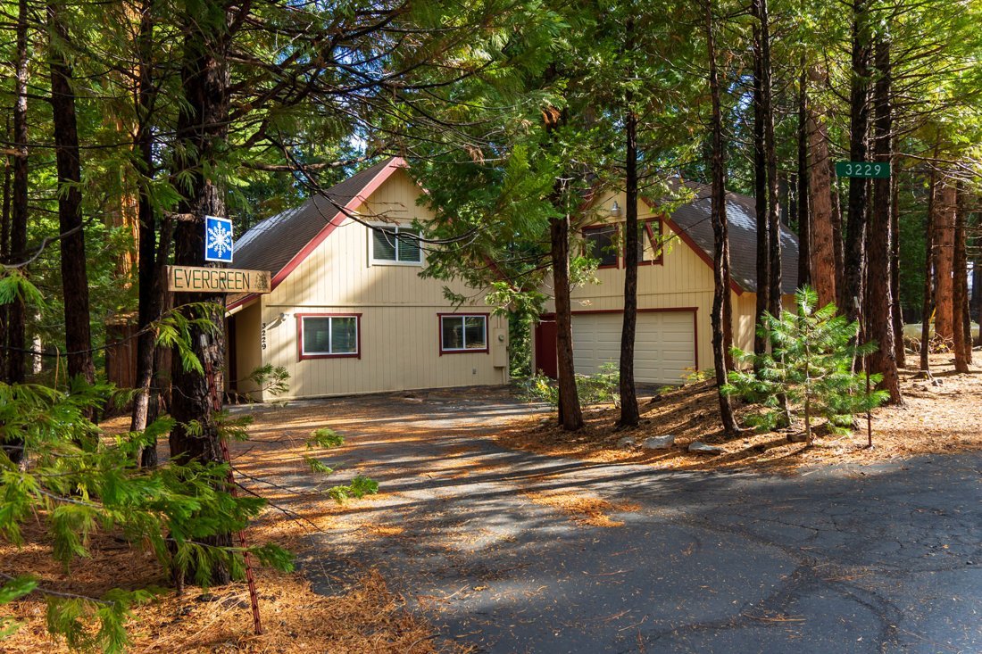 Step 3
Est. from $120/night · typical rate. Whole homes and cabins for families or groups.
Search VrboReservations
Maritime History and Backcountry Permit Management
All backcountry camping requires a pre-booked permit via Recreation.gov, often selling out months in advance for the summer season. Boat cruises and guided kayak tours are separate commercial entities; check their official sites for availability as these are the primary ways to see the cliffs.
Official reservation infoBest time to fly in
June – September
Miners Castle → Munising Falls
Grand Sable Dunes → Sable Falls
Chapel Rock → Chapel Beach
Viator
Geführte Aktivitäten rund um Pictured Rocks National Lakeshore. Prüfen Sie Treffpunkt, Termine und Verfügbarkeit auf Viator vor der Buchung.
Tourangebote separat öffnenAusgewählte Reiseausrüstung
Stauraum für Tageswanderungen
Für Wechselkleidung und Wanderbedarf; Passform prüfen und Wertsachen extra schützen.
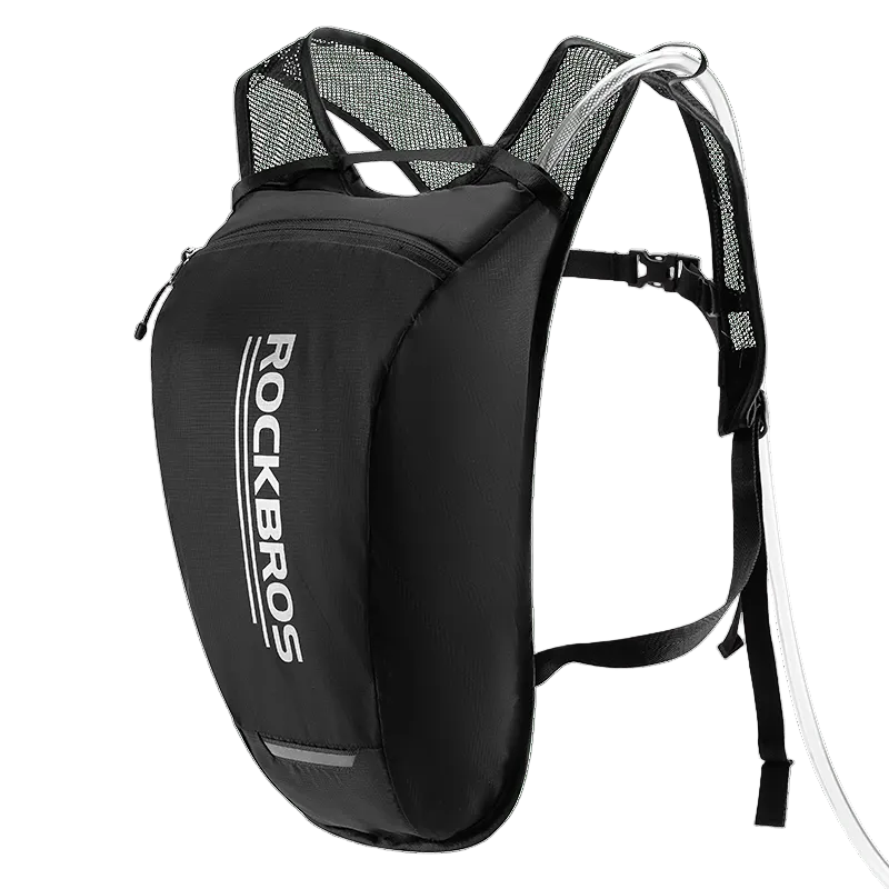
Wasser an Wandertagen
Nehmen Sie auf längeren Wanderungen Trinkwasser mit; vor dem Verlassen von Versorgungsstellen auffüllen.
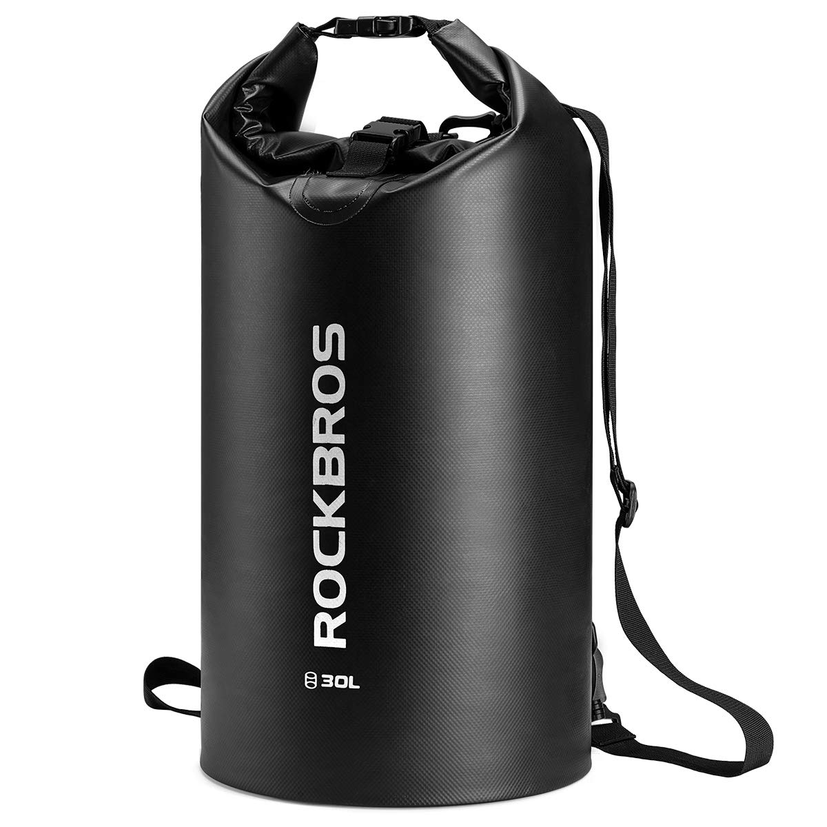
Spritzschutz für Kleinigkeiten
Für kleine Gegenstände in Wassernähe; Verschlussanweisungen beachten. Keine Schwimmhilfe oder Sicherheitsvorrichtung.
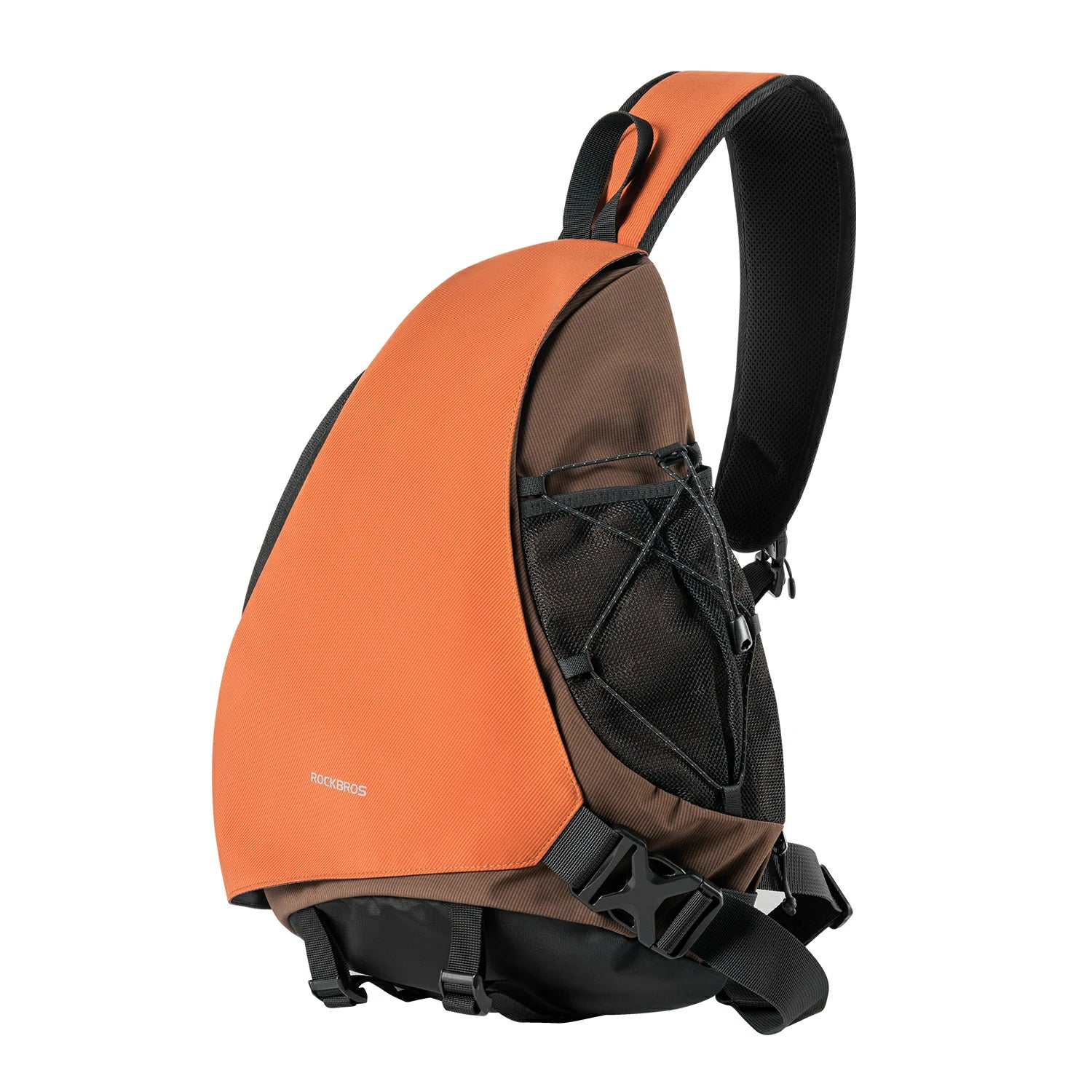
Stadt- & Besichtigungstage
Hält kleine Dinge für Tagesausflüge zusammen – ohne Fahrradtasche.
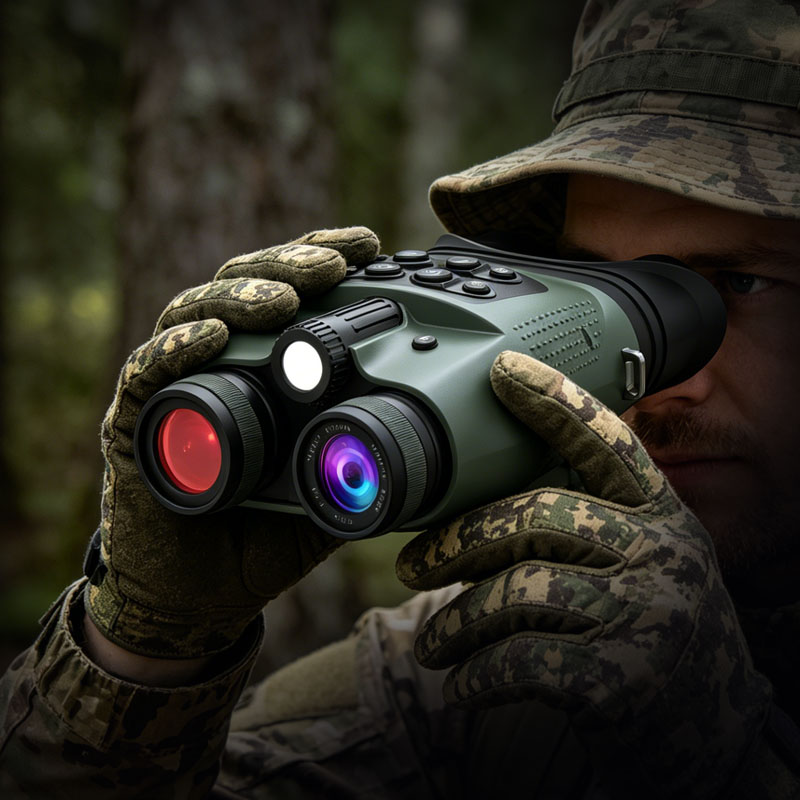
Tier- & Nachtbeobachtung
3″ HD-Display · 48MP Foto · 8-facher Digitalzoom. Parkregeln vor Nutzung von Licht bei Nacht prüfen.
$189.99 USD · Shoppreis
Bei WILDGUARDER kaufenOptionale Empfehlungen, keine vollständige Pack- oder Sicherheitsliste. Fotos aus den Shops von ROCKBROS und WILDGUARDER. Preise Stand 2026-10-19 / 2026-10-20; price, stock and shipping may change.
Marquette Sawyer Regional Airport (MQT) is the nearest commercial airport we route from.
Roughly 2 h 17 min (about 75 miles) by car, without stops. Times are estimates.
All backcountry camping requires a pre-booked permit via Recreation.gov, often selling out months in advance for the summer season. Boat cruises and guided kayak tours are separate commercial entities; check their official sites for availability as these are the primary ways to see the cliffs.
