 Arrival airport
 Airport drive
 Reservation demand
 Best season
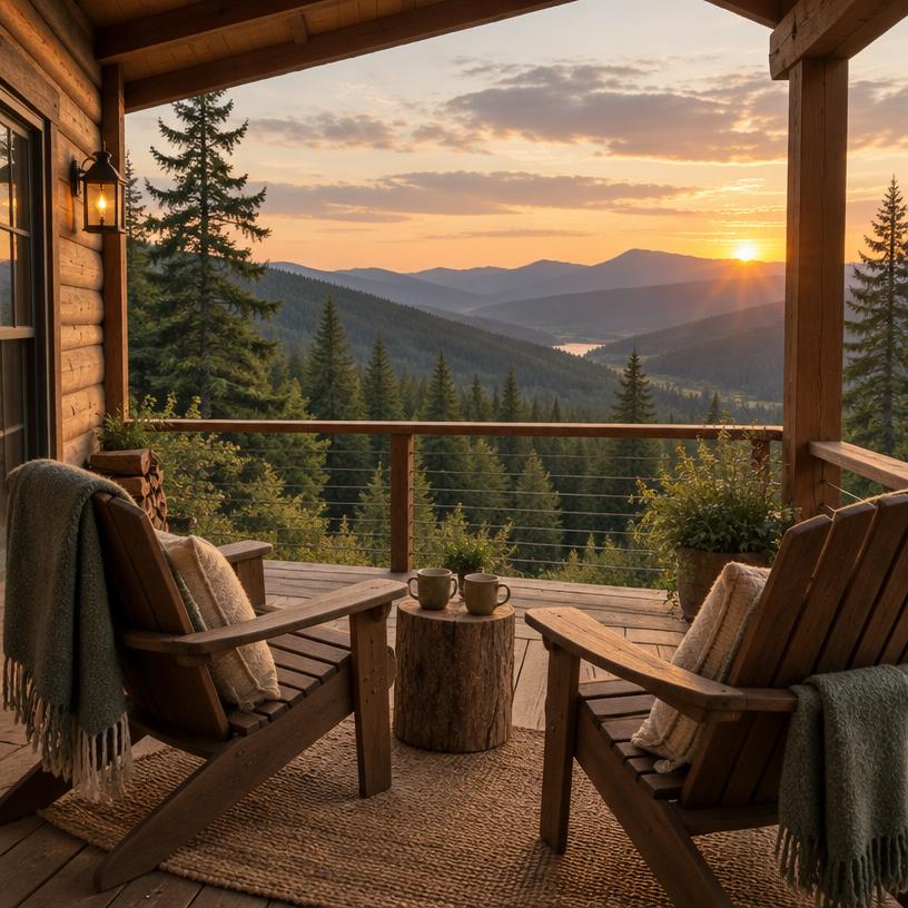
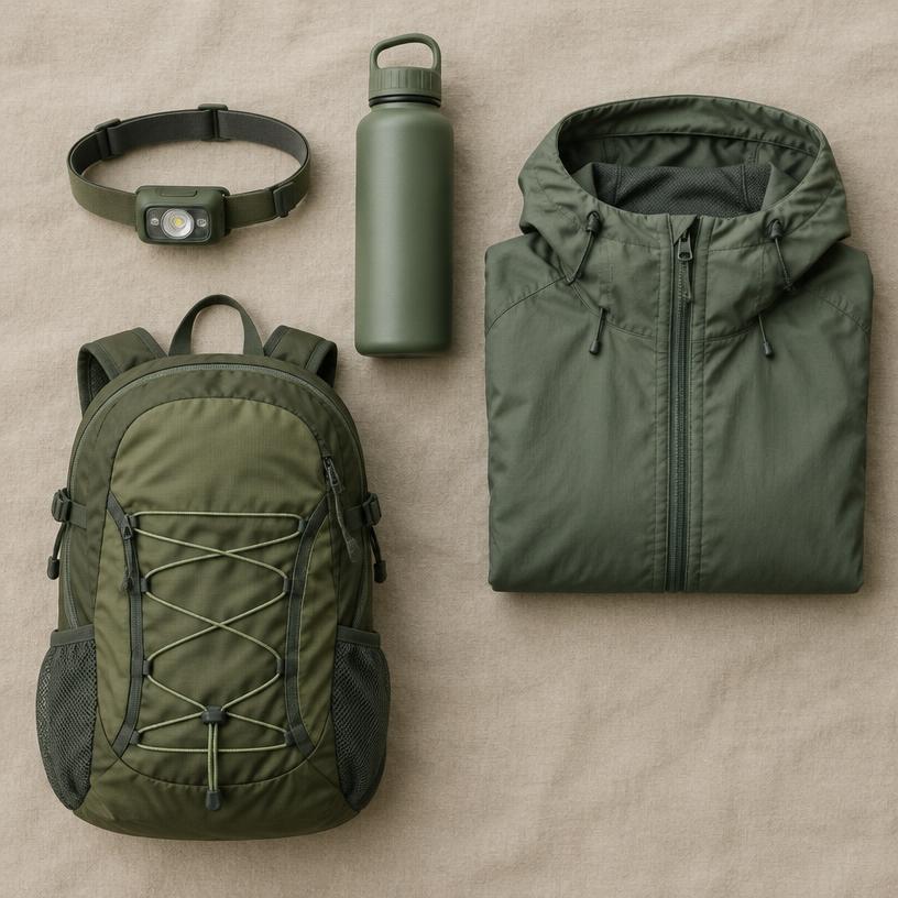
A trip to Pictured Rocks National Lakeshore is a journey into the heart of the Upper Peninsula’s wilderness. This three-day itinerary is designed to help you balance the "must-see" landmarks with the quiet, hidden corners of the park. By basing yourself in Munising or Grand Marais, you can easily access the trailheads and water launches that make this destination famous. Prepare for a mix of rugged hiking, relaxing boat rides, and stunning sunset views over the greatest of the Great Lakes.
 Step 1
Arrival and the Western Gateway
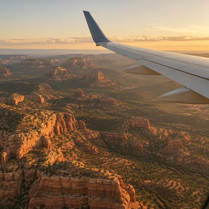
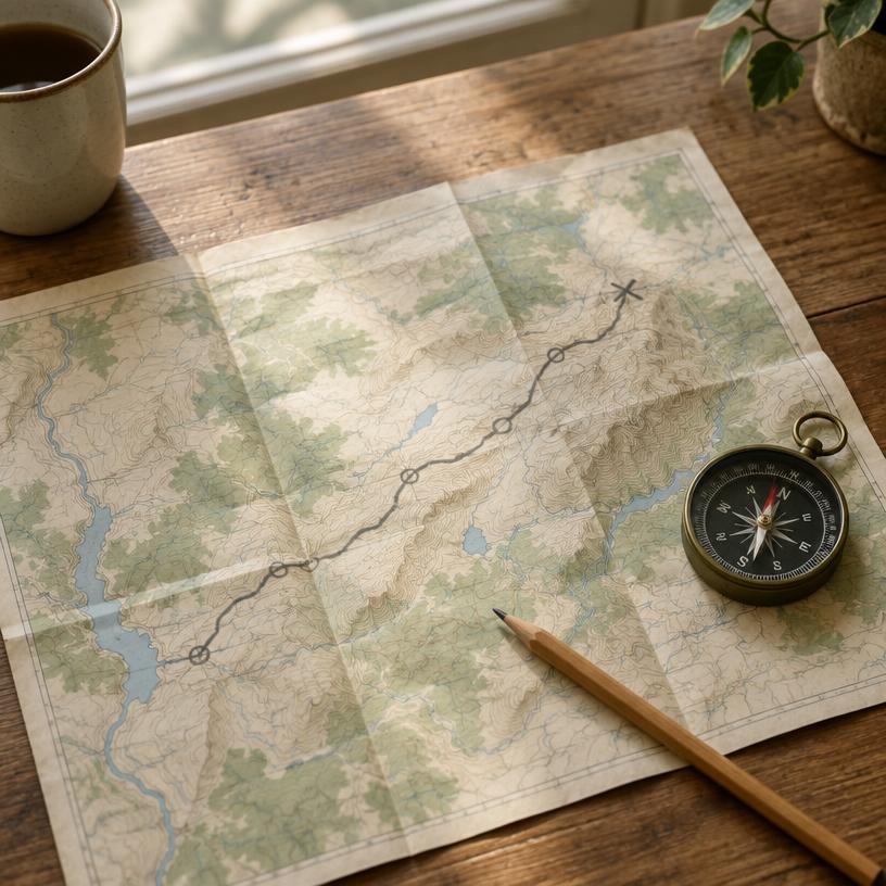
Most visitors arrive by flying into Sawyer International Airport (MQT) in Marquette, which is about a 45-minute drive from Munising. On your first day, get settled into your accommodation and head straight to the Munising Falls Visitor Center. This is a great way to get your bearings and pick up a physical map, which is helpful since cell service is notoriously spotty within the park.
Spend your first afternoon visiting Miners Castle. It’s a short drive from town and offers multiple overlooks. After viewing the rock, head down to Miners Beach, where you can walk along the shore and see the cliffs from ground level. This is a perfect spot to watch the light change as evening approaches. End your first day with a sunset boat cruise departing from the Munising city pier. Seeing the Pictured Rocks cliffs illuminated by the golden hour light is the perfect introduction to the park's scale and beauty. Grab dinner in Munising, where local whitefish is a regional staple you shouldn't miss.
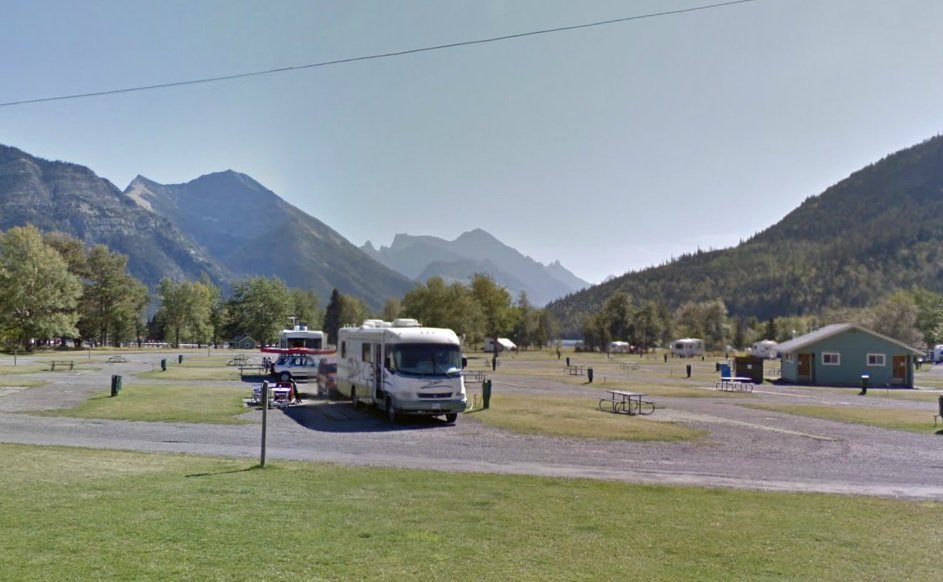
Day 2: The Iconic Chapel Loop Hike
Dedicate your second day to the park’s most famous hike: the Chapel-Mosquito Loop. Pack a hearty lunch, plenty of water, and bug spray. You will want to arrive at the trailhead by 8:00 AM at the latest during the summer months, as the lot fills up quickly. Start the loop by heading toward Chapel Falls, a beautiful inland waterfall, before reaching the coast at Chapel Rock and Chapel Beach.
The middle section of this hike follows the clifftops of the North Country Trail. You’ll pass Grand Portal Point, which offers the most dramatic 360-degree views of the lakeshore. The turquoise water against the white sandstone is breathtaking. After reaching Mosquito Beach, the trail turns back inland through the forest to complete the 10-mile loop. This hike usually takes between 5 and 7 hours depending on how often you stop for photos. After such a long day on your feet, enjoy a relaxed evening. You might want to visit one of the local breweries in Munising or simply relax by a campfire if you are staying at a nearby campground.
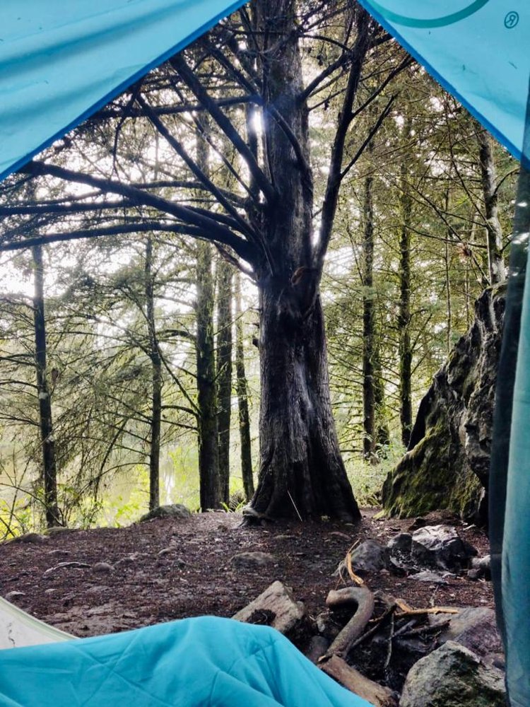
Day 3: Dunes, Falls, and Grand Marais
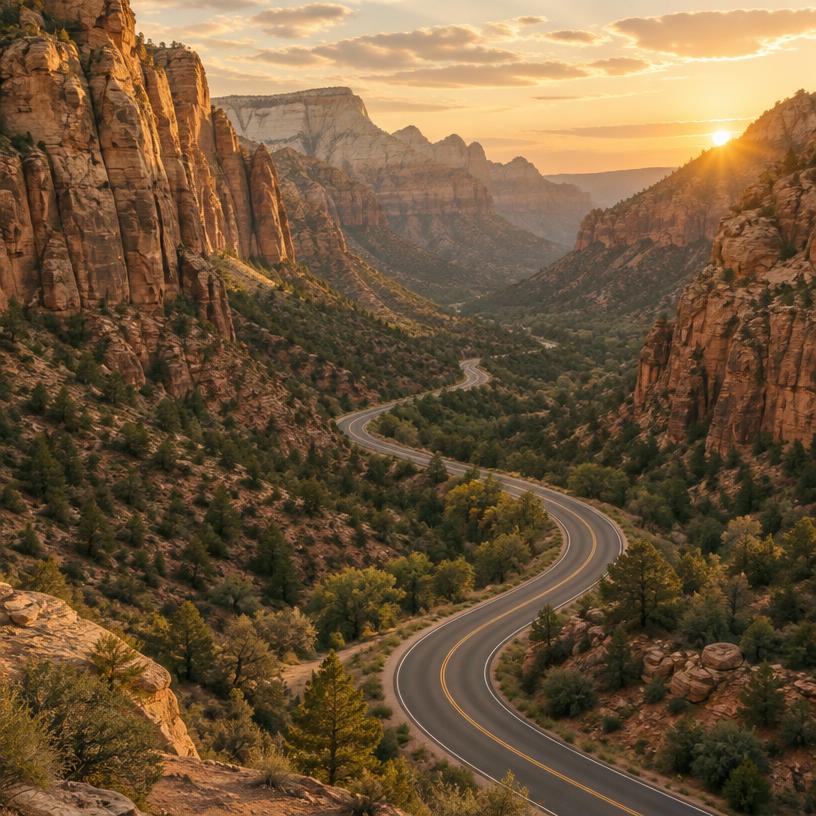
On your third day, head east toward the town of Grand Marais. The drive along H-58 is one of the most scenic in the Midwest, passing through dense forests and over rolling hills. Your first stop should be the Log Slide Overlook. Here, you can stand at the top of a massive dune where loggers once slid timber down to the lake. The view looking west toward the Au Sable Light Station is one of the best in the park.
Continue to the Au Sable Light Station for a gentle walk along the shore to see the historic lighthouse. In the afternoon, explore the Grand Sable Dunes. These "perched" dunes are a unique geological feature and offer a different kind of hiking experience. Before leaving the park, stop at Sable Falls to see the water tumble over rock ledges toward the lake. Finish your day in the charming town of Grand Marais, which has a slower pace than Munising. Visit the local shops or walk along the harbor before beginning your journey home or heading back to your base.
Step 4Alternative Options: Kayaking and Shipwrecks
If you aren't a big hiker or if you have an extra day, consider swapping the Day 2 hike for a guided kayaking tour. These tours usually take half a day and get you into the sea caves and under the arches that hikers only see from above. It is a more intimate way to experience the geology. If you choose to kayak, be sure to book with a reputable guide service that provides all necessary safety gear and instruction.
Another excellent alternative is a glass-bottom boat tour of the local shipwrecks. The cold, clear waters of Lake Superior have preserved many 19th-century wooden schooners that are visible from the surface. This is a great option for families with younger children or for those interested in the maritime history of the Great Lakes. For those who want more beach time, Twelvemile Beach offers a perfect location for a quiet day of reading and relaxing by the water, away from the more crowded tourist hubs. The flexibility of Pictured Rocks allows you to tailor your trip to your physical comfort level.
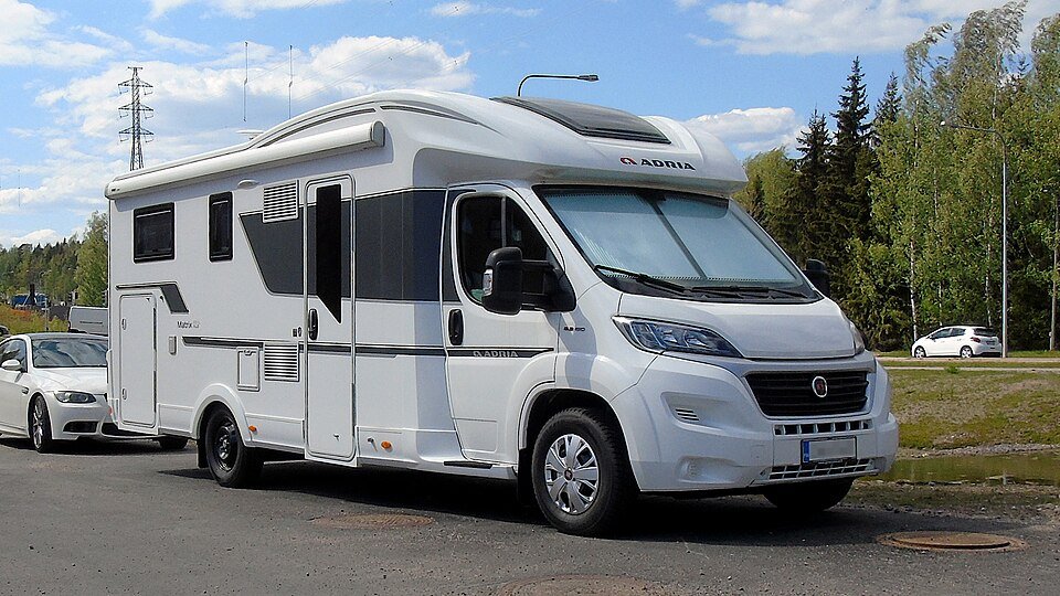 Step 5
Essential Travel Tips for the Lakeshore
To make the most of your itinerary, there are a few practicalities to keep in mind. First, always check the National Park Service website for the latest updates on trail closures or road conditions, especially if you are visiting in the shoulder seasons. Second, remember that there is very little infrastructure within the park itself; there are no gas stations or grocery stores once you leave the gateway towns, so fill up your tank and pack your cooler before you head out for the day.
Third, be prepared for the "Superior" effect on weather. Even a sunny day can turn chilly if the wind shifts off the lake. Dressing in layers is the best way to stay comfortable. Finally, Pictured Rocks is a "trash-in, trash-out" destination. Help preserve the pristine beauty of the Upper Peninsula by carrying out all your litter and staying on marked trails to protect the fragile dune and cliffside ecosystems. By following these simple tips, you’ll ensure a safe and enjoyable trip to one of America’s most unique natural treasures.
Quick answers about Pictured Rocks National Lakeshore
How many days should a Pictured Rocks National Lakeshore itinerary be?
A 2–4 days itinerary covers the main sights without rushing.
Which airport should you fly into for Pictured Rocks National Lakeshore?
The closest airport is MQT, about 2 h 17 min away by car.
How much does a Pictured Rocks National Lakeshore trip cost?
Budget about $165 per person per day, excluding flights (a typical estimate; prices vary by season).
Airport car & SUV rentals

- ✓ Compare suppliers at MQT
- ✓ Free cancellation on many rates
Standard car rentals at MQT
Est. from $45/day · typical rate
Pick your dates and vehicle class.
Compare rates at MQT
- ✓ Compare suppliers at MQT
- ✓ Free cancellation on many rates
SUV rentals at MQT
Est. from $55/day · typical rate
Pick your dates and vehicle class.
Compare rates at MQTViator
Tours & experiences near Pictured Rocks National Lakeshore
Explore guided activities around Pictured Rocks National Lakeshore. Check the meeting point, dates and availability on Viator before booking.
Open tour listings separately