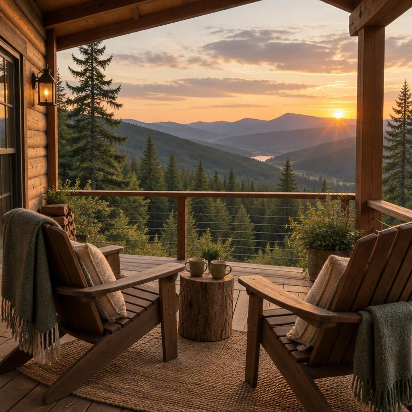
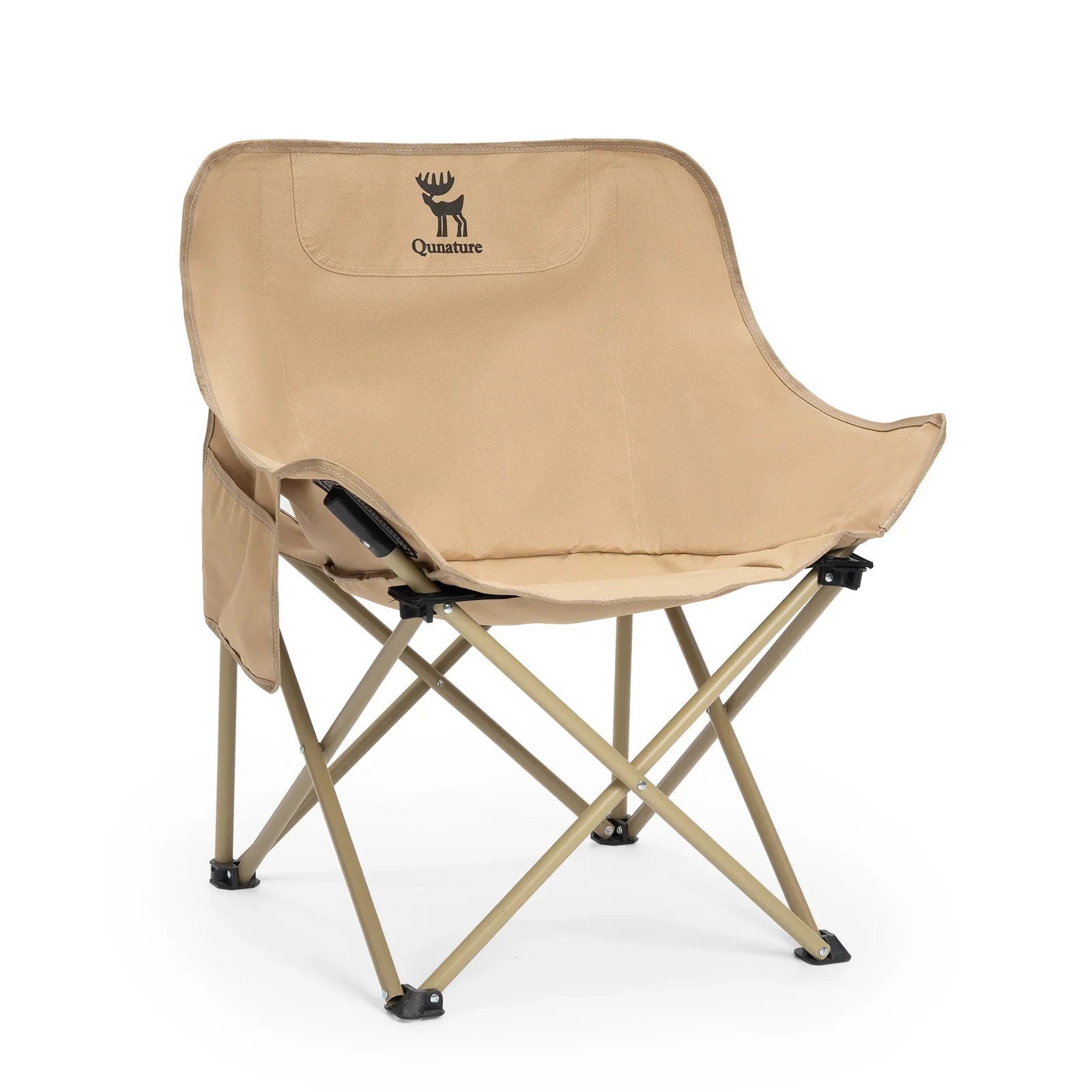
Campsite evenings
Folding Camping Chair · Adult
For an outdoor sitting area at camp; check packed size against your vehicle storage.

RV & camping guide
 2 h 17 min from MQTCamping score 8/10
Trip snapshot
 Arrival airportAirport drive
 Suggested stay
 Reservation demand
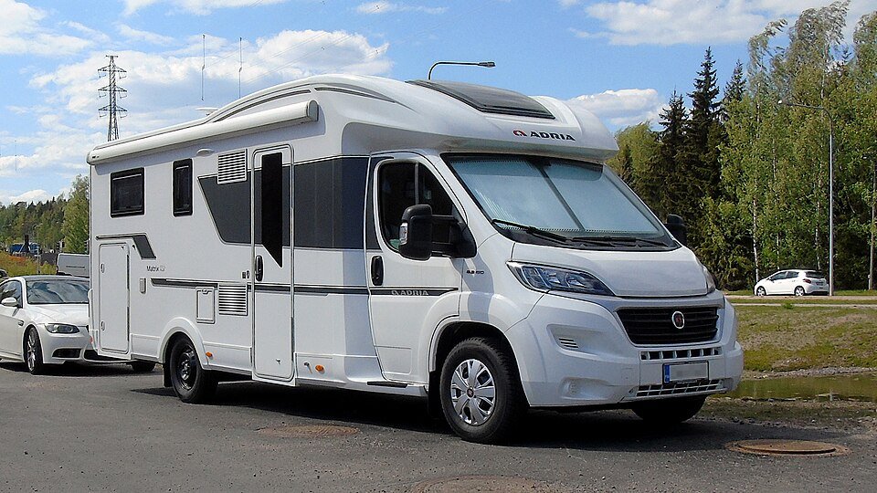
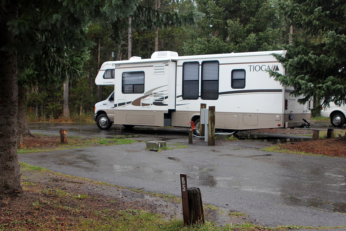
 Vehicle notes
Book in this order
Your route
MQT
Marquette Sawyer Regional Airport
Pictured Rocks National Lakeshore
About 2 h 17 min · 75 mi by car, no stops. Estimate only.
Which vehicle
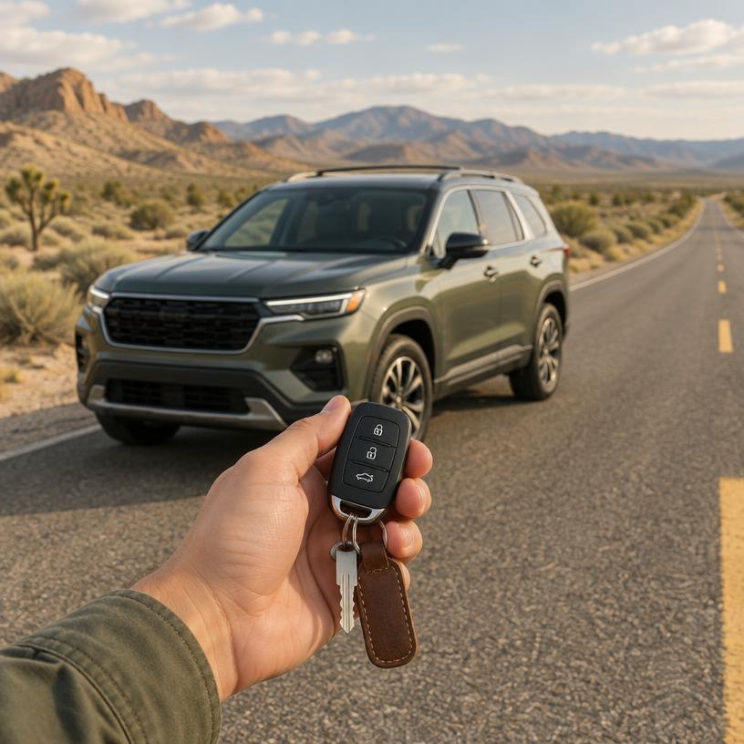
While H-58 is paved, many trailhead roads are gravel and prone to washboarding; check your rental agreement for coverage on unpaved surfaces.
parking
Trailhead Congestion
The Chapel-Mosquito parking lot is frequently full by 8 AM during the peak July and August window. Have a backup plan like Sand Point if you arrive later.
signal
Upper Peninsula Limits
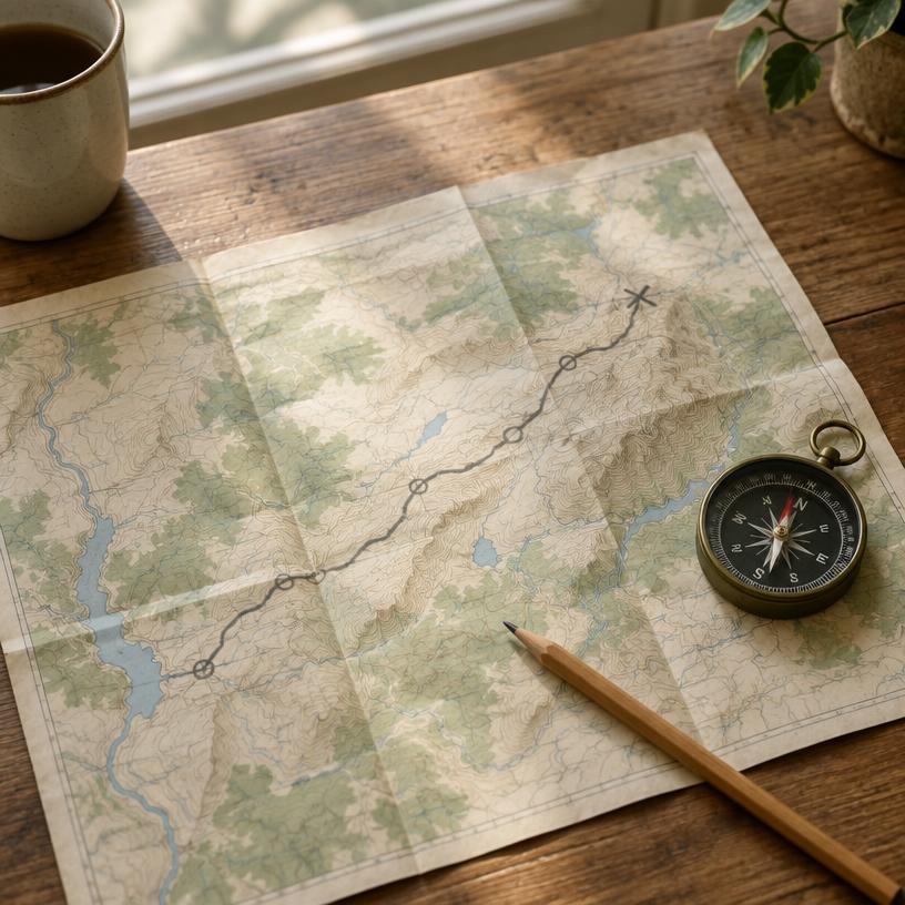
Expect zero cellular service along the H-58 corridor and most hiking trails. Carry a physical map or a dedicated GPS device for wilderness navigation.
fuel
Gateway Filling
Fuel up in Munising or Grand Marais, as there are no services along the 42-mile length of the Lakeshore. Supplies are limited once you enter the park interior.
Maritime History and Backcountry Permit Management
All backcountry camping requires a pre-booked permit via Recreation.gov, often selling out months in advance for the summer season. Boat cruises and guided kayak tours are separate commercial entities; check their official sites for availability as these are the primary ways to see the cliffs.
Official sourceFleet rentals from established depots. Compare pick-up cities against your flight.
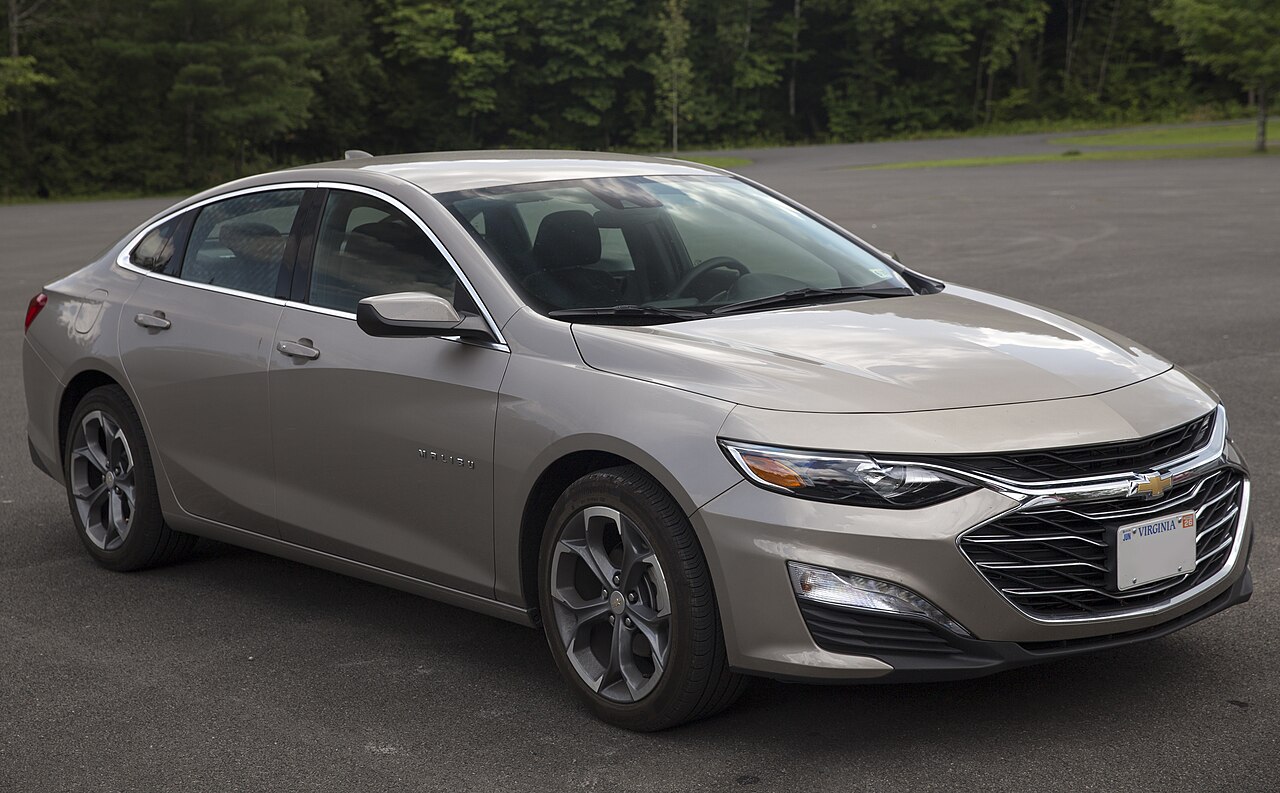
Est. from $45/day · typical rate
Pick your dates and vehicle class.
Compare rates at MQT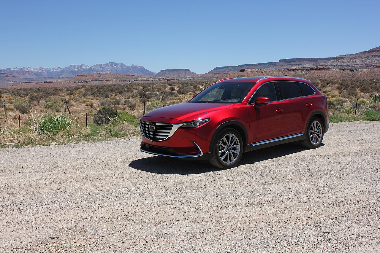
Est. from $55/day · typical rate
Pick your dates and vehicle class.
Compare rates at MQTPrivate campgrounds and RV parks outside the park, plus overnight stops for members.
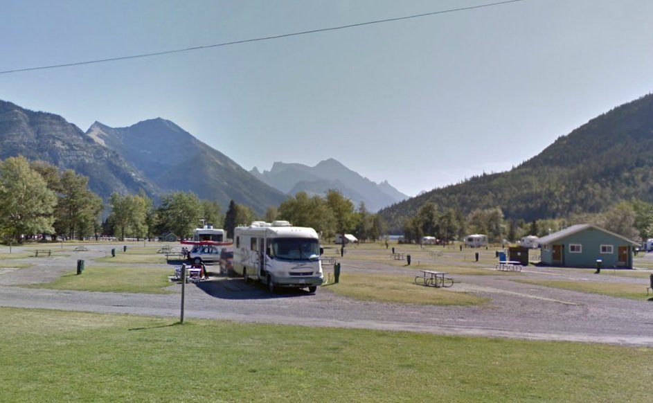
Book RV parks and campgrounds online with full hookups near the park.
Check campground availabilityPrivate campgrounds, cabins and glamping just outside the park, often with availability when park sites sell out.
Check campground availabilityTraveling by RV near Pictured Rocks National Lakeshore?
Harvest Hosts membership: 5,000+ unique RV stops. WildParkRoutes readers get 20% off the first year.
Miners Castle → Munising Falls
Grand Sable Dunes → Sable Falls
Chapel Rock → Chapel Beach
Viator
Explore guided activities around Pictured Rocks National Lakeshore. Check the meeting point, dates and availability on Viator before booking.
Open tour listings separatelyCurated Trip Essentials
Campsite evenings
For an outdoor sitting area at camp; check packed size against your vehicle storage.
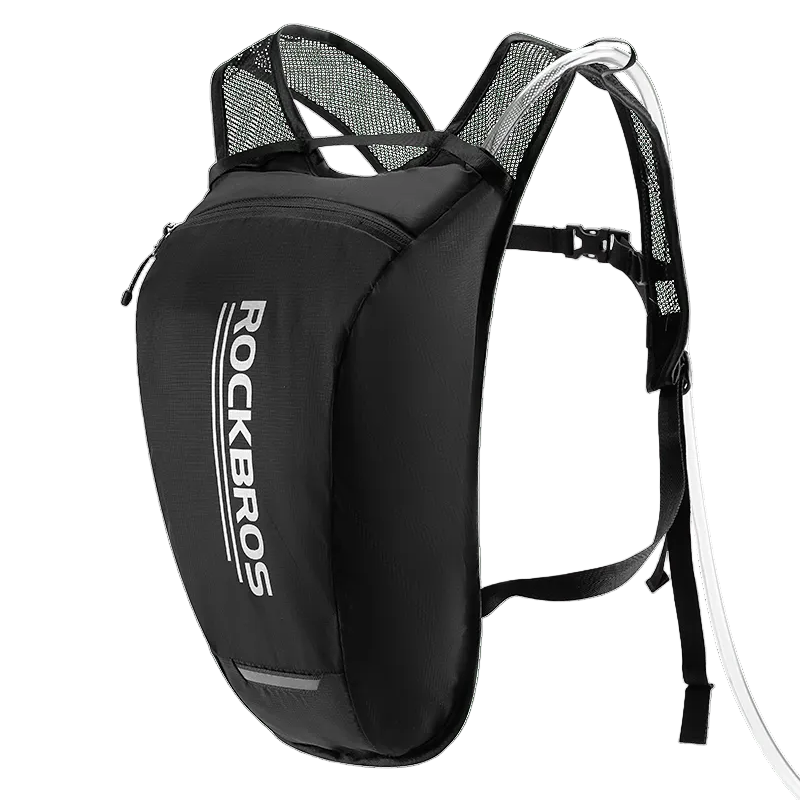
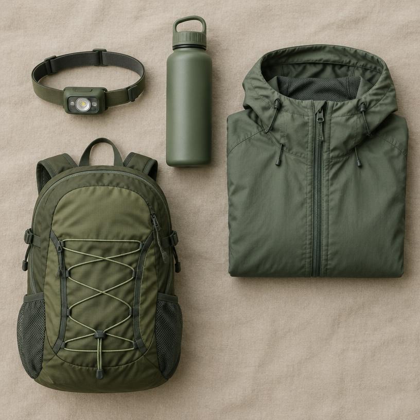
Water on walking days
Carry drinking water on longer walks; refill before leaving services.
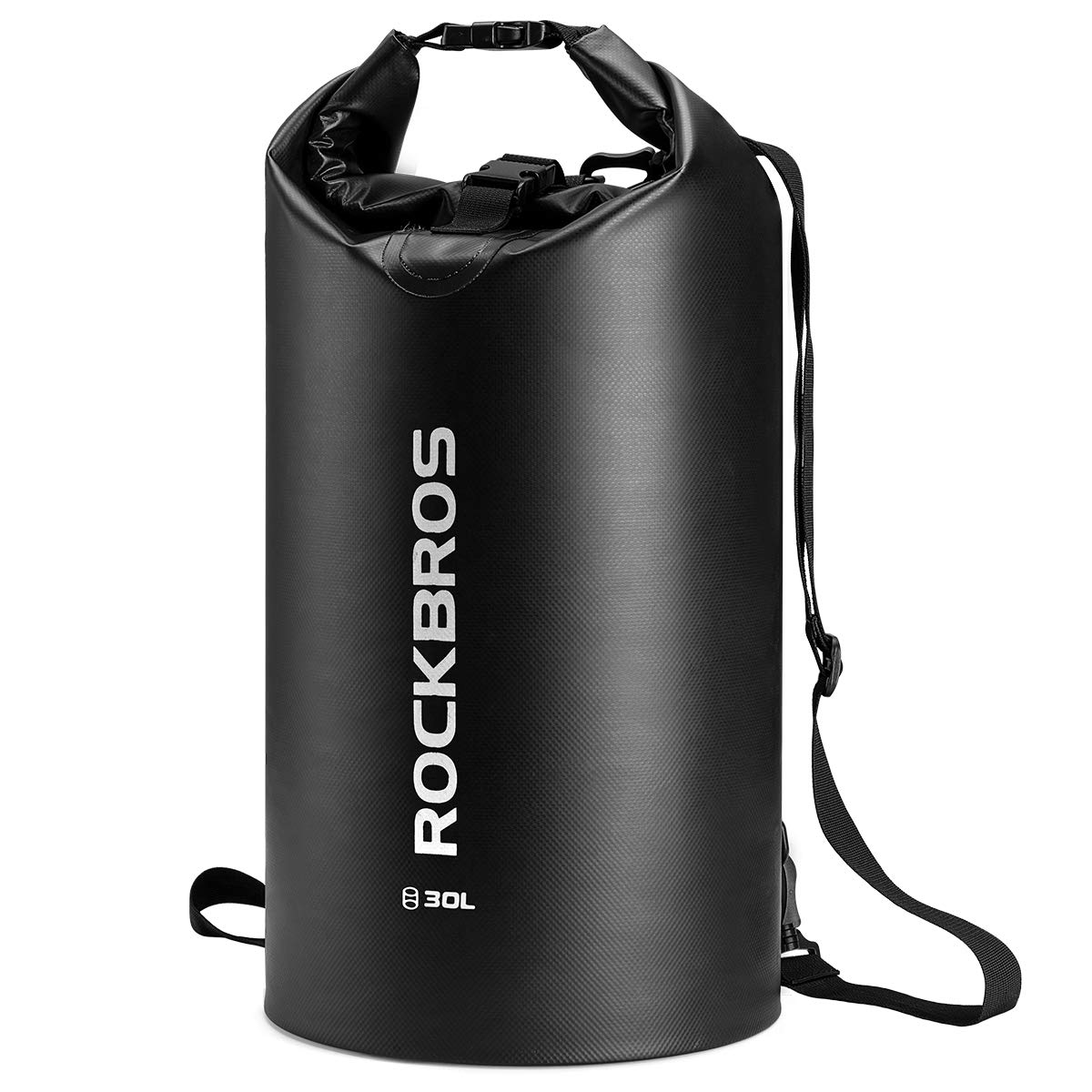
Small-item splash protection
For small items near water; check closure instructions. Not a flotation or safety device.
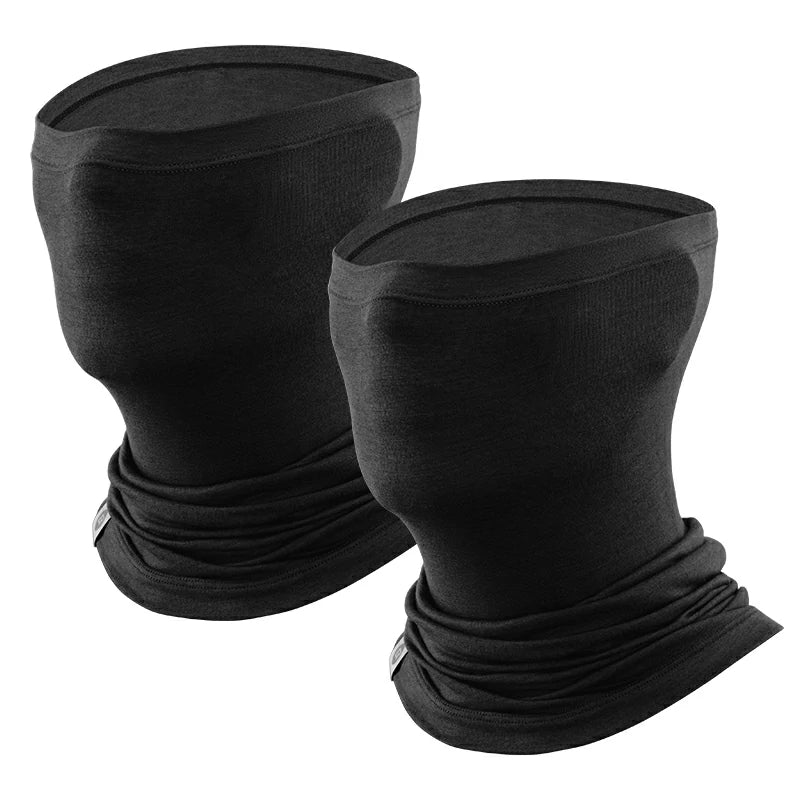
Cool-weather stops
For cold or windy stops. Confirm fabric, fit and the two-pack variant at the store.
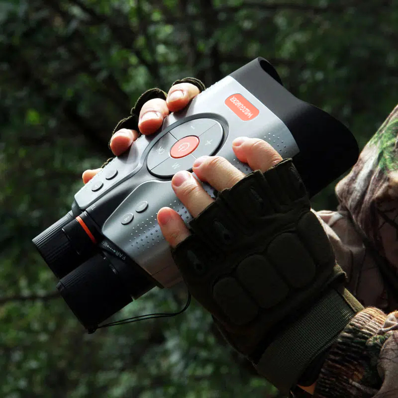
Wildlife & night viewing
52MP photo · 1,200m range · full color at night. Check park rules before using lights at night.
$299.99 USD · store price
Shop at WILDGUARDEROptional picks, not a complete packing or safety list. Photos from the ROCKBROS and WILDGUARDER stores. Prices as of 2026-10-19 / 2026-10-20; price, stock and shipping may change.
Yes, Pictured Rocks National Lakeshore is a good fit for camping trips. Check vehicle length limits on park roads and campgrounds before you book, and plan fuel stops on remote stretches.
The nearest airport is Marquette Sawyer Regional Airport (MQT), about 2 h 17 min away by car. Rental depots are usually in larger cities, so compare pick-up points before booking flights.
All backcountry camping requires a pre-booked permit via Recreation.gov, often selling out months in advance for the summer season. Boat cruises and guided kayak tours are separate commercial entities; check their official sites for availability as these are the primary ways to see the cliffs.