Campsite evenings
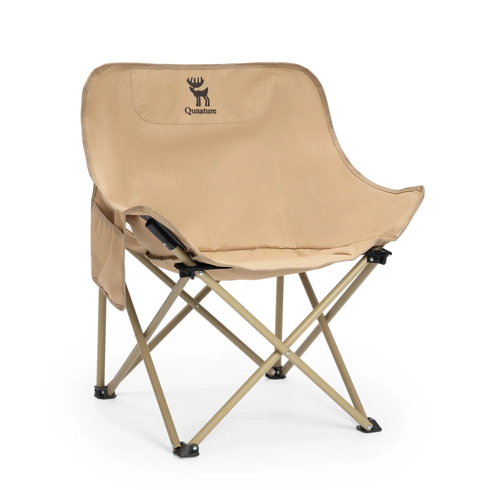
Folding Camping Chair · Adult
For an outdoor sitting area at camp; check packed size against your vehicle storage.

RV & camping guide
 2 h 23 min from AVLCamping score 9/10
Trip snapshot
 Arrival airportAirport drive
 Suggested stay
 Reservation demand
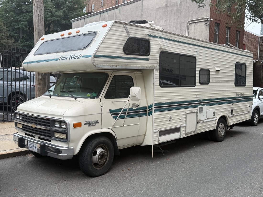
 Vehicle notes
Book in this order
Your route
AVL
Asheville Regional Airport
Nantahala National Forest
About 2 h 23 min · 101 mi by car, no stops. Estimate only.
Which vehicle
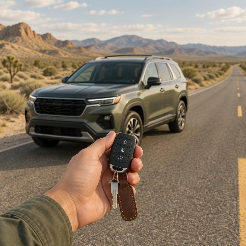
High-clearance vehicles are recommended for gravel forest roads, though main byways are paved; check rental terms for off-pavement restrictions.
parking
Trailhead Capacity
Lots at Dry Falls and Whiteside Mountain fill by mid-morning on weekends. Use the smaller pull-offs on the Cherohala Skyway only if your vehicle fits entirely within the designated space.
signal
Deep Gorge Coverage
Cellular reception is extremely limited within the Nantahala Gorge and Joyce Kilmer Forest. Rely on printed maps or pre-loaded satellite navigation for all forest service road travel.
fuel
Gateway Fuel Stations
Franklin, Bryson City, and Robbinsville are the last reliable fuel stops before entering the forest interior. Ensure a full tank before starting the Cherohala Skyway or Mountain Waters Byway.
Regional Activity Permits and River Access Reservations
Commercial rafting on the Nantahala River and campsites at popular spots like Tsali or Standing Indian require reservations via Recreation.gov or private operators. Permit requirements vary by activity, including specific rules for dispersed camping. Always verify current forest road closures on the official US Forest Service site before travel.
Official sourceFleet rentals from established depots. Compare pick-up cities against your flight.
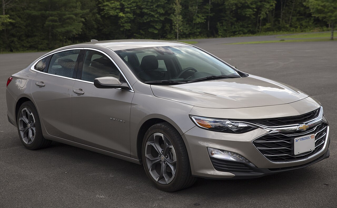
Est. from $45/day · typical rate
Pick your dates and vehicle class.
Compare rates at AVL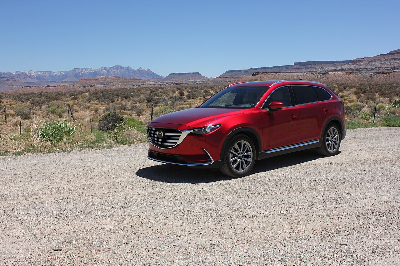
Est. from $55/day · typical rate
Pick your dates and vehicle class.
Compare rates at AVLPrivate campgrounds and RV parks outside the park, plus overnight stops for members.
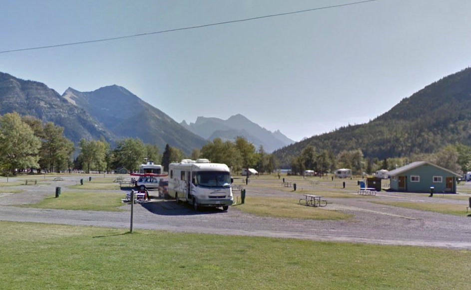
Book RV parks and campgrounds online with full hookups near the park.
Check campground availability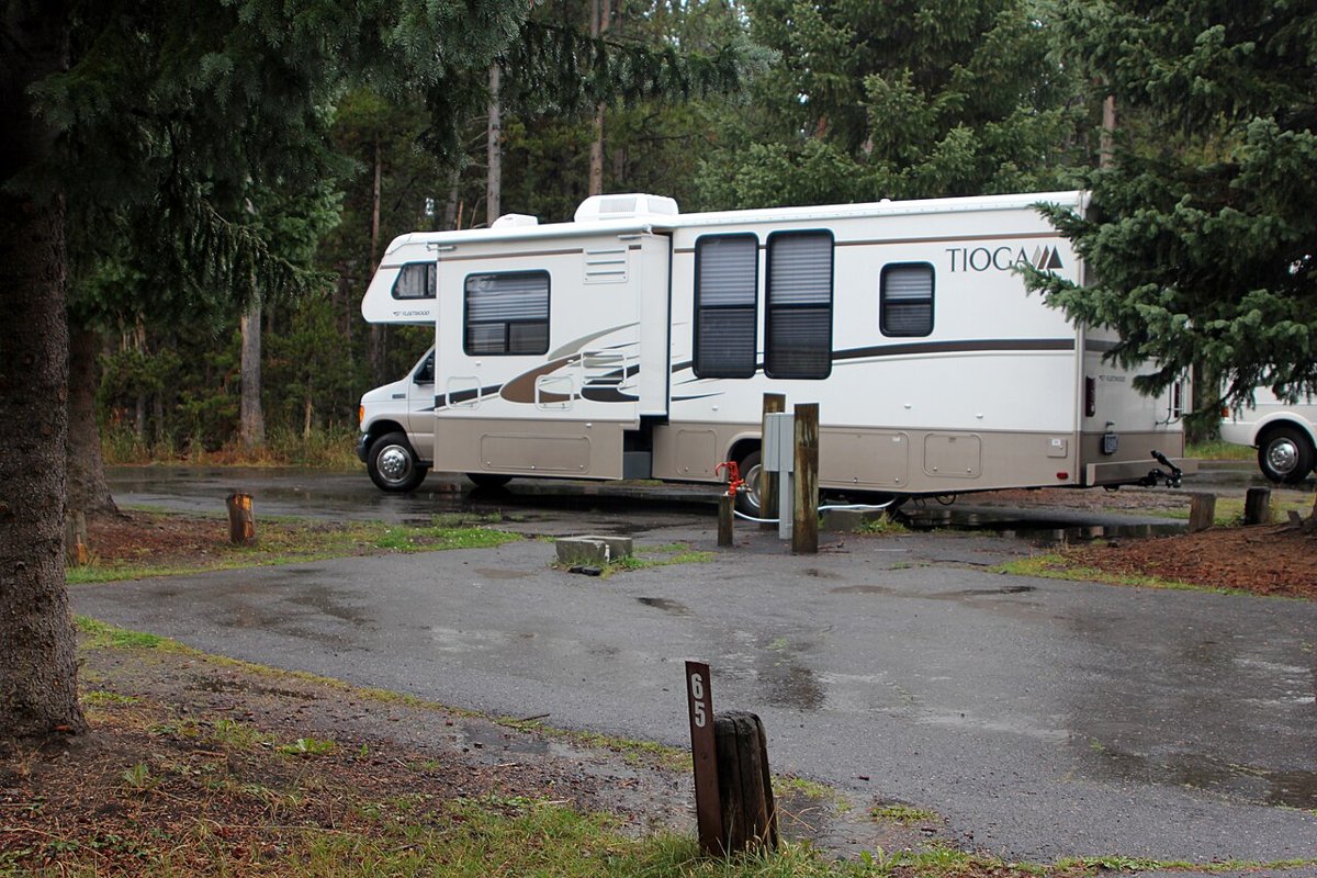
Private campgrounds, cabins and glamping just outside the park, often with availability when park sites sell out.
Check campground availabilityTraveling by RV near Nantahala National Forest?
Harvest Hosts membership: 5,000+ unique RV stops. WildParkRoutes readers get 20% off the first year.
Nantahala River Gorge → Nantahala Lake
Dry Falls → Whiteside Mountain
Joyce Kilmer Memorial Forest → Cherohala Skyway
Viator
Explore guided activities around Nantahala National Forest. Check the meeting point, dates and availability on Viator before booking.
Open tour listings separatelyCurated Trip Essentials
Campsite evenings
For an outdoor sitting area at camp; check packed size against your vehicle storage.
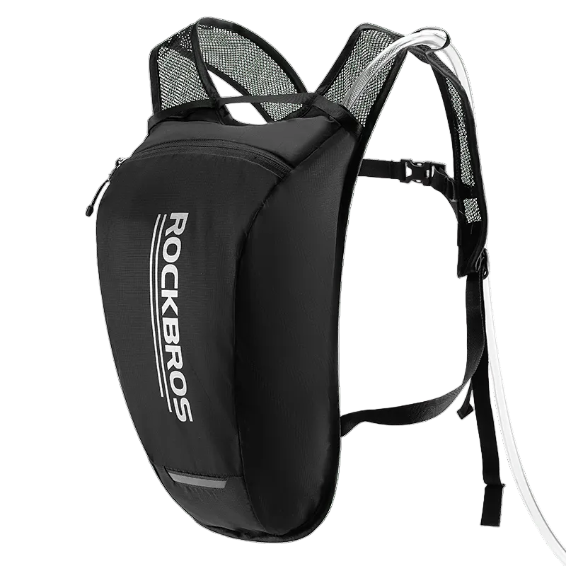
Water on walking days
Carry drinking water on longer walks; refill before leaving services.
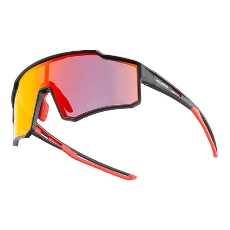
Eye protection
Wrap-around cycling sunglasses with polarized lenses and a lightweight TR90 frame, according to the listing.
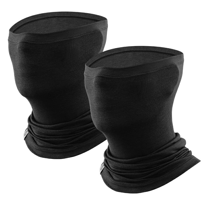
Cool-weather stops
For cold or windy stops. Confirm fabric, fit and the two-pack variant at the store.
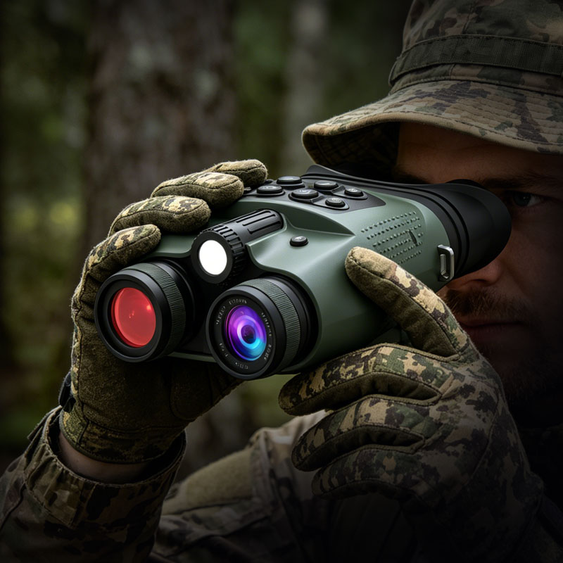
Wildlife & night viewing
3″ HD display · 48MP photo · 8X digital zoom. Check park rules before using lights at night.
$189.99 USD · store price
Shop at WILDGUARDEROptional picks, not a complete packing or safety list. Photos from the ROCKBROS and WILDGUARDER stores. Prices as of 2026-10-19 / 2026-10-20; price, stock and shipping may change.
Yes, Nantahala National Forest is a good fit for camping trips. Check vehicle length limits on park roads and campgrounds before you book, and plan fuel stops on remote stretches.
The nearest airport is Asheville Regional Airport (AVL), about 2 h 23 min away by car. Rental depots are usually in larger cities, so compare pick-up points before booking flights.
Commercial rafting on the Nantahala River and campsites at popular spots like Tsali or Standing Indian require reservations via Recreation.gov or private operators. Permit requirements vary by activity, including specific rules for dispersed camping. Always verify current forest road closures on the official US Forest Service site before travel.