 Arrival airport
 Airport drive
 Reservation demand
 Best season
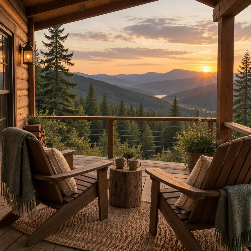
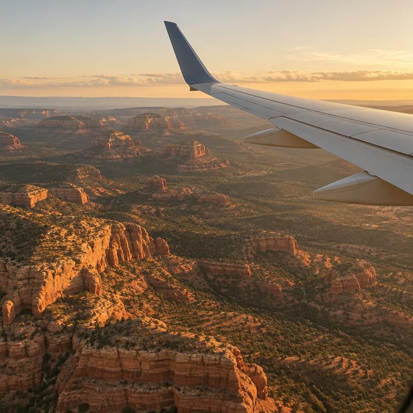
Planning a trip to the Tahoe National Forest requires a balance of high-energy exploration and quiet moments of reflection. This three-day itinerary is designed to take you from the bustling mountain town of Truckee through the rugged heart of the Northern Sierra, ending in the historic foothills. By flying into Truckee Tahoe Airport (TKF) or driving from the surrounding metropolitan areas, you can quickly immerse yourself in a landscape of towering evergreens and pristine granite, making every mile of the journey count.
Day 1: High Peaks and Historic Passes
Your journey begins in the vibrant town of Truckee, located just minutes from the eastern edge of the forest. After arriving and picking up any last-minute supplies, head toward Donner Pass. Spend your morning exploring the historic railroad tunnels and the nearby petroglyphs. The views from the summit overlooking Donner Lake are breathtaking and offer a great introduction to the scale of the region.
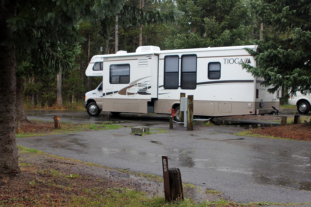
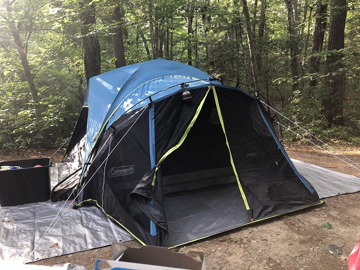
In the afternoon, head north on Highway 89 toward the Lakes Basin Recreation Area. This drive takes you through dense forests and across crystal-clear creeks. Once you arrive, take a moderate hike around Gold Lake or one of its smaller neighbors like Sardine Lake. The jagged peaks of the Sierra Buttes will loom over you, providing a dramatic backdrop for your first evening in the woods. Set up camp at one of the forest's developed sites or check into a local lodge to rest up for the adventure ahead. This area is known for its quiet nights and incredible stargazing, so be sure to look up once the sun goes down.
Day 2: The Sierra Buttes and River Canyons
Start your second day early to beat the heat and the crowds at the Sierra Buttes Lookout trail. This is a steep but rewarding climb that serves as the highlight for many forest visitors. The final ascent involves a series of metal stairs bolted into the rock, leading to a lookout tower with unparalleled views of the entire Northern Sierra. It is a fantastic spot for photographs and a sense of true mountain accomplishment.
After your descent, drive west toward the North Yuba River. This section of the forest is characterized by deep canyons and emerald-colored swimming holes. Stop at one of the roadside pull-offs to enjoy a picnic lunch on the granite rocks and take a dip in the refreshing river water. The afternoon can be spent exploring the small, historic hamlet of Downieville, a former gold-mining town that now serves as a hub for mountain bikers and river enthusiasts. The contrast between the high-altitude peaks of the morning and the lush river canyon of the afternoon showcases the incredible diversity of the Tahoe National Forest.
Day 3: Foothill History and Forest Farewells
On your final day, move toward the western slope of the forest. This area is home to the majestic sugar pine and historical sites that date back to the 1850s. Visit the Empire Mine State Historic Park just outside of Grass Valley (technically bordering the forest) to understand the massive scale of the mining operations that once dominated this landscape. Then, head back into the national forest land to hike the Buttermilk Bend Trail or explore the South Yuba River State Park area, known for its iconic covered bridge and wildflower displays in the spring.
Spend your final afternoon wandering the streets of Nevada City. This town is one of the most well-preserved Gold Rush towns in California and provides a perfect place for a farewell dinner. Reflect on your trip as you browse the local shops and enjoy the community atmosphere. Before you head back to the airport or your home, take one last scenic drive along the ridges to watch the sunset paint the granite peaks in shades of pink and orange. This itinerary captures the best of the high country and the foothills, leaving you with a deep appreciation for the Sierra.
 Step 4
Travel Logistics and Navigation Tips
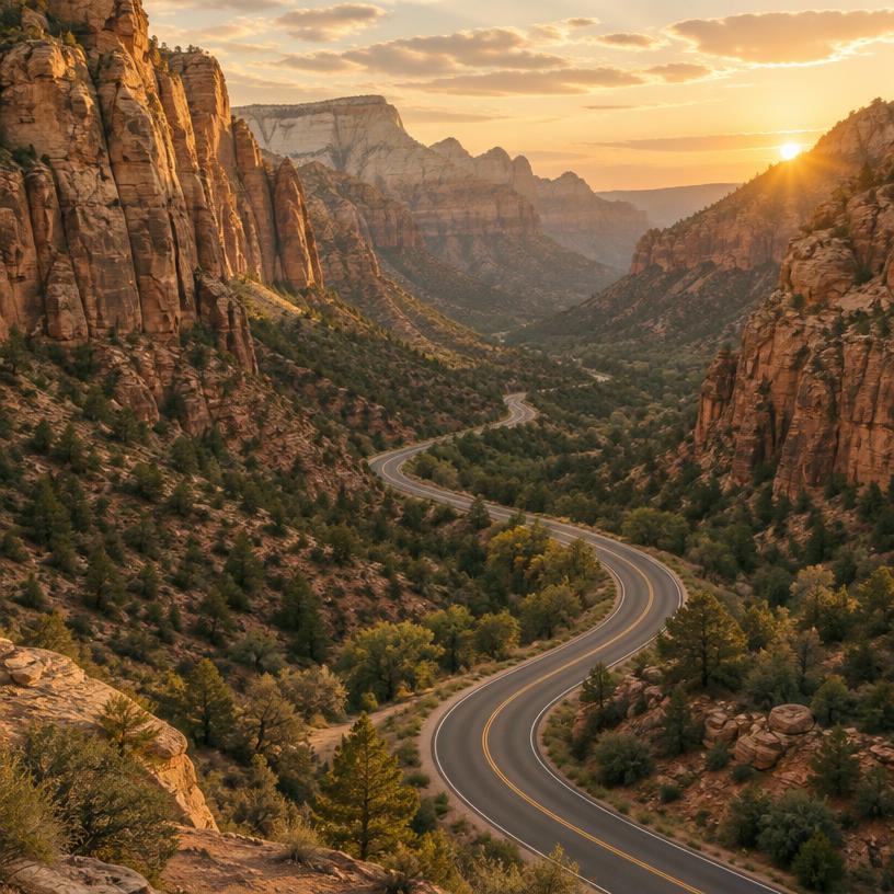
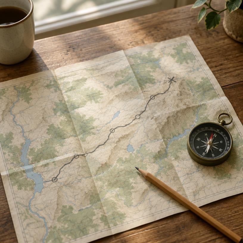
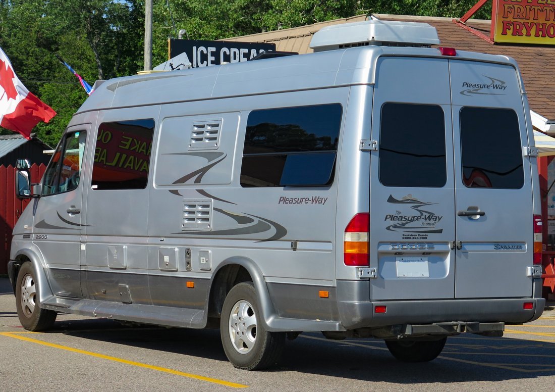
Navigating the Tahoe National Forest is relatively straightforward via major routes like I-80 and Highway 49, but the forest roads can be a different story. Many of the most beautiful spots are located down gravel or dirt roads that may require a high-clearance vehicle. Always have a physical map or a downloaded offline map, as cellular service is extremely spotty once you leave the main highway corridors. If you are flying into Truckee Tahoe Airport (TKF), renting a robust SUV is a wise choice to ensure you can reach all your desired trailheads.
Keep in mind that driving distances in the mountains always take longer than they appear on a map. Winding roads and elevation changes mean that a 30-mile drive can easily take an hour or more. Plan your fuel stops accordingly, as gas stations are few and far between once you are deep in the forest. By giving yourself plenty of time to travel between locations, you can turn the drive itself into part of the adventure, stopping at overlooks and small creek crossings along the way.
 Step 5
Budgeting and Essential Gear
For a 2-4 day trip, an average daily budget of around $160 per person covers modest lodging or camping fees, fuel, and meals. While hiking and sightseeing are essentially free, you should account for parking fees at some of the more developed recreation areas. Investing in a sturdy pair of broken-in hiking boots is essential, as the terrain is often rocky and uneven. Additionally, a high-quality water filtration system is useful if you plan on doing longer day hikes away from developed water sources.
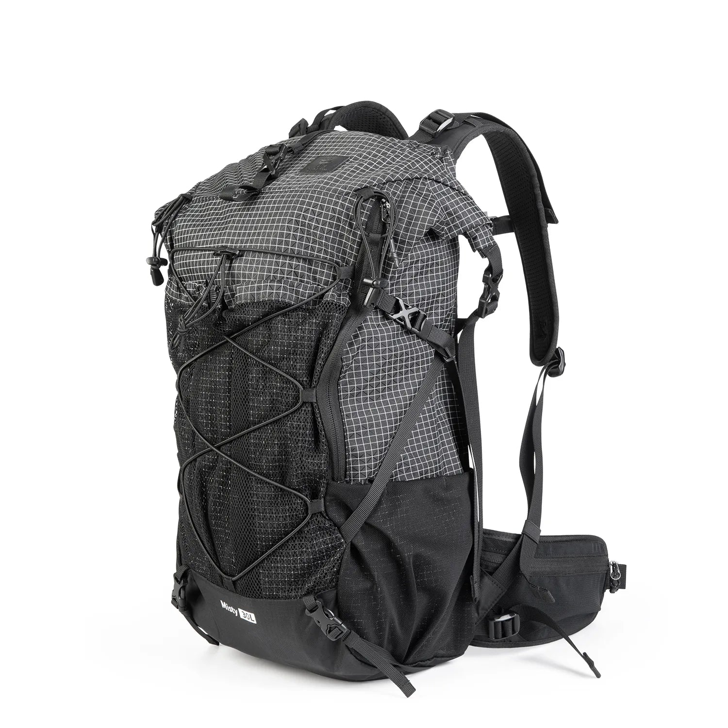
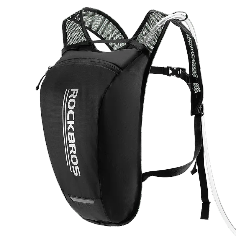
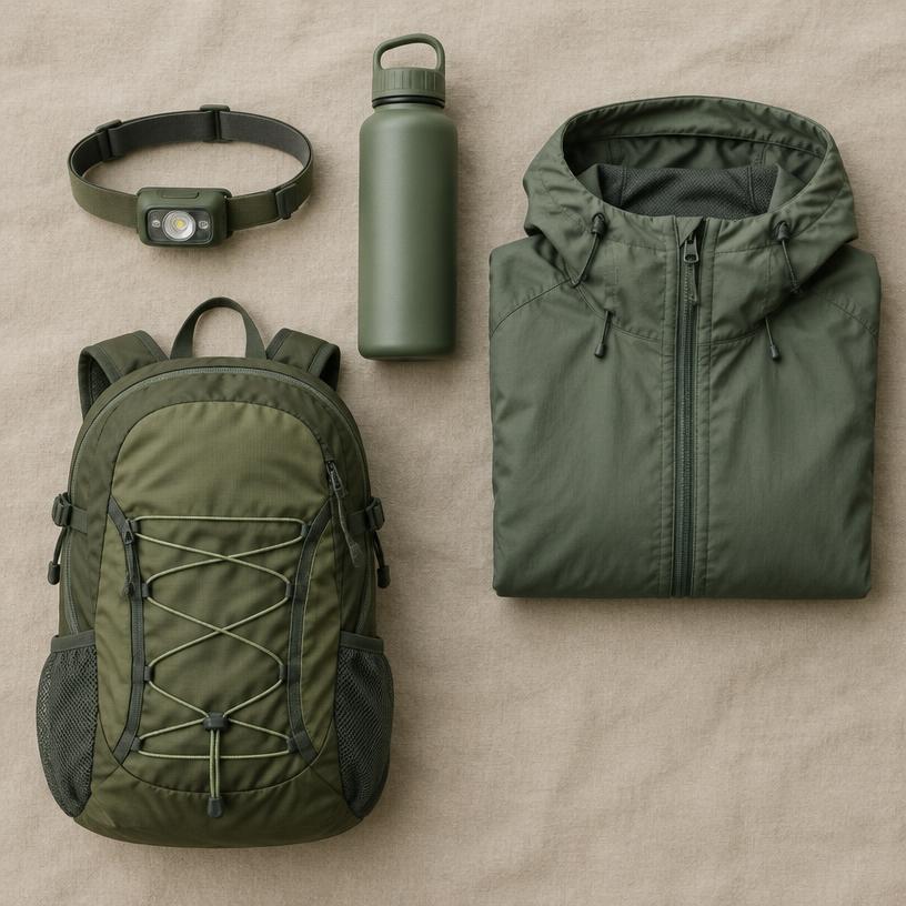
Packing layers is the golden rule of the Sierra Nevada. Even in the height of summer, the temperature can swing 40 degrees between day and night. A lightweight down jacket, a waterproof shell, and moisture-wicking base layers will keep you comfortable in almost any situation. Don’t forget high-SPF sunscreen and a hat, as the thinner atmosphere at high altitudes significantly increases the risk of sunburn. Checking the official Forest Service website before you depart will give you the most current information on weather and any necessary permits for wilderness areas or wood fires.
Quick answers about Tahoe National Forest
How many days should a Tahoe National Forest itinerary be?
A 2–4 days itinerary covers the main sights without rushing.
Which airport should you fly into for Tahoe National Forest?
The closest airport is TKF, about 1 h 54 min away by car.
How much does a Tahoe National Forest trip cost?
Budget about $160 per person per day, excluding flights (a typical estimate; prices vary by season).
Airport car & SUV rentals

- ✓ Compare suppliers at TKF
- ✓ Free cancellation on many rates
Standard car rentals at TKF
Est. from $45/day · typical rate
Pick your dates and vehicle class.
Compare rates at TKF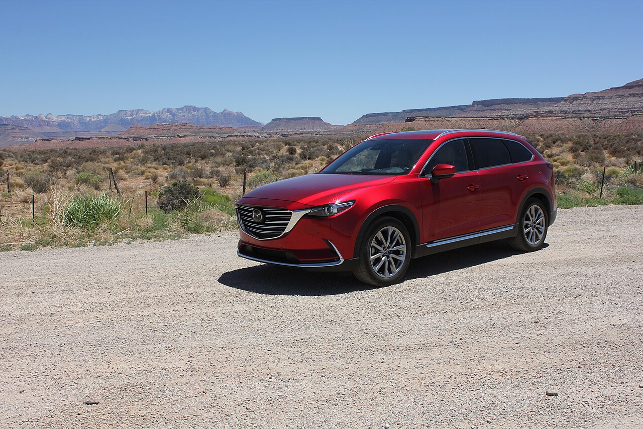
- ✓ Compare suppliers at TKF
- ✓ Free cancellation on many rates
SUV rentals at TKF
Est. from $55/day · typical rate
Pick your dates and vehicle class.
Compare rates at TKFViator
Tours & experiences near Tahoe National Forest
Explore guided activities around Tahoe National Forest. Check the meeting point, dates and availability on Viator before booking.
Open tour listings separately